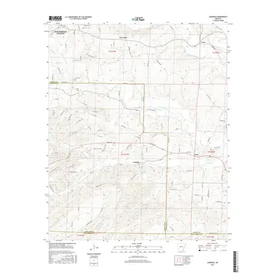
2017 Map of Lonsdale
USGS Topo · Published 2017About this map
Lonsdale sits at the center of this landscape where the S Fork Saline River and Middle Fork Saline River converge within a network of smaller drainages like Tenmile Cr and Pleasant Run. The terrain is defined by the intersection of Garland, Saline, and Hot Spring counties, a region where rural crossroads like Crows and Owensville provided essential community hubs. To the northwest, the edge of Hot Springs Village indicates the modern expansion of planned residential areas into the traditionally timbered hills.
Find a feature on this map
102 named features on this map. Tap any name to fly to it.
Don’t see what you’re looking for? This feature index may not catch every label — zoom into the map to look around manually.
Map Details
Editions of this 2017 Lonsdale Map
This is the sole edition of this map. No revisions or reprints were ever made.
Other maps of this area

1890 · Benton
USGS Topo · 1:125,000

1894 · Benton
USGS Topo · 1:125,000

1938 · Benton
USGS Topo · 1:48,000

1944 · Benton
USGS Topo · 1:62,500

1948 · Malvern
USGS Topo · 1:62,500

1949 · Malvern
USGS Topo · 1:62,500

1955 · Little Rock
USGS Topo · 1:250,000

1956 · Little Rock
USGS Topo · 1:250,000

1960 · Little Rock
USGS Topo · 1:250,000

1963 · Traskwood
USGS Topo · 1:24,000