Loading...
Loading map...2024 Map of Lonsdale
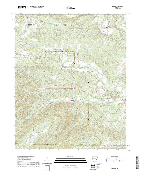
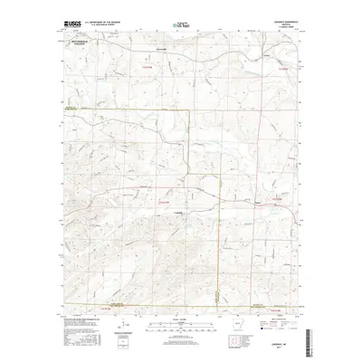
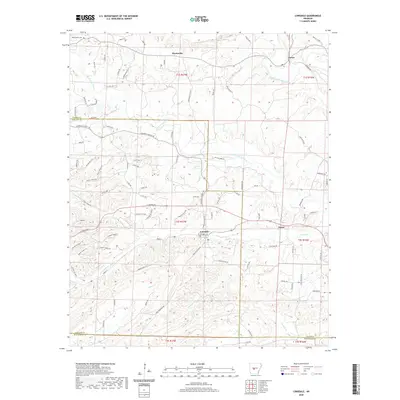
USGS Topo · Published 2024About this map
Lonsdale sits at the heart of this landscape, positioned along the historical boundary between Garland and Saline counties. The area is defined by a dense network of watercourses, including the South Fork Saline River and Middle-Fork Saline River, which cut through the winding topography near Tigre Mountain. To the northwest, the expansion of Hot Springs Village is evident through its growing street plan, including De Soto Blvd and Manzanares Dr.
Find a feature on this map
104 named features on this map. Tap any name to fly to it.
Don’t see what you’re looking for? This feature index may not catch every label — zoom into the map to look around manually.
Map Details
Date Portrayed2024
Date Published2024
PublisherU.S. Geological Survey
Map TypeTopographic
Scale1:24,000
Physical Dimensions24 x 29 inches
Editions of this 2024 Lonsdale Map
This is the sole edition of this map. No revisions or reprints were ever made.
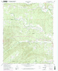
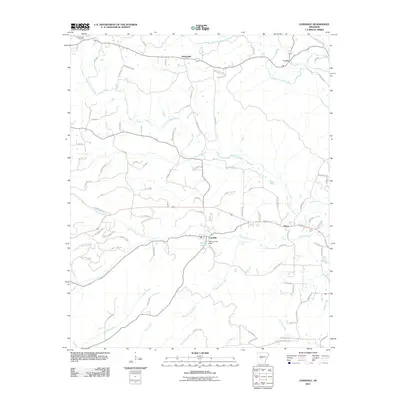
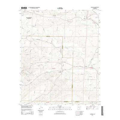
Historical Maps of Lonsdale Through Time
6 maps found
Featured Locations
Source Details
SourceU.S. Geological Survey
CopyrightPublic Domain