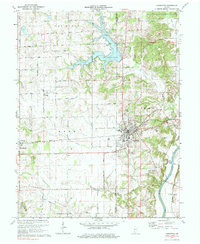
1974 Map of Loogootee
USGS Topo · Published 1984About this map
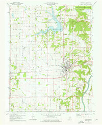
Loogootee serves as the primary hub of this 1970s survey, where the Baltimore and Ohio railroad intersects the town's street grid. The landscape to the west is defined by the expansive West Boggs Lake and West Boggs Park, a significant recreational and water management feature of the era. To the east, the White River East Fork meanders through the terrain near the settlement of Mount Pleasant.
Find a feature on this map
46 named features on this map. Tap any name to fly to it.
Don’t see what you’re looking for? This feature index may not catch every label — zoom into the map to look around manually.
Map Details
Editions of this 1974 Loogootee Map
2 editions found
Other maps of this area

1943 · Epsom
USGS Topo · 1:24,000

1944 · Montgomery
USGS Topo · 1:24,000

1944 · Glendale
USGS Topo · 1:24,000

1950 · Shoals
USGS Topo · 1:24,000

1950 · Odon
USGS Topo · 1:24,000

1956 · Alfordsville
USGS Topo · 1:24,000

1956 · Loogootee
USGS Topo · 1:24,000

1956 · Rusk
USGS Topo · 1:24,000

1956 · Indian Springs
USGS Topo · 1:24,000

1956 · Vincennes
USGS Topo · 1:250,000