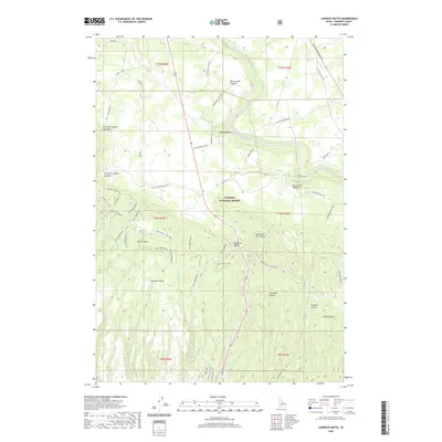
2020 Map of Lookout Butte
USGS Topo · Published 2020About this map
Henrys Fork Caldera and Island Park Caldera dominate this portion of eastern Idaho, showcasing the dramatic volcanic geography of the Targhee National Forest. The landscape is defined by the descent from Big Bend Ridge toward the Henrys Fork river, which cuts through the northeastern corner of the map near Sheep Falls. This area is heavily managed for transit and timber access, as evidenced by a complex network of forest roads and spurs, including Rattlesnake Rd and its many branches like Rattlesnake Spur 9 and Rattlesnake Spur 10.
Find a feature on this map
54 named features on this map. Tap any name to fly to it.
Don’t see what you’re looking for? This feature index may not catch every label — zoom into the map to look around manually.
Map Details
Editions of this 2020 Lookout Butte Map
This is the sole edition of this map. No revisions or reprints were ever made.
Other maps of this area

1955 · Ashton
USGS Topo · 1:250,000

1958 · Ashton
USGS Topo · 1:250,000

1960 · Ashton
USGS Topo · 1:250,000

1964 · Hatchery Butte
USGS Topo · 1:24,000

1964 · Last Chance
USGS Topo · 1:24,000

1965 · Lemon Lake
USGS Topo · 1:24,000

1965 · Ashton
USGS Topo · 1:24,000

1965 · Lookout Butte
USGS Topo · 1:24,000

1965 · Snake River Butte
USGS Topo · 1:24,000

1965 · Blue Creek Reservoir
USGS Topo · 1:24,000