
1965 Map of Ashton
USGS Topo · Published 1967About this map
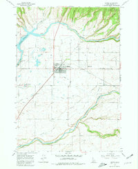
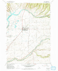
The agrarian and hydraulic landscape of eastern Idaho is prominently displayed here, centered on the settlement of Ashton and the nearby community of Marysville. This mid-1960s survey reveals a sophisticated network of irrigation including the Farmers Own Canal, Marysville Canal, and Union Pacific Canal, which redirect water from the Henrys Fork and Falls River to support the surrounding farmland. The topographical transition from the river valley to the timbered heights of the Targhee National Forest is clearly defined, with Jump Off Canyon and Coleman Canyon cutting through the northeast corner.
Find a feature on this map
29 named features on this map. Tap any name to fly to it.
Don’t see what you’re looking for? This feature index may not catch every label — zoom into the map to look around manually.
Map Details
Editions of this 1965 Ashton Map
3 editions found
Other maps of this area

1949 · Newdale
USGS Topo · 1:24,000

1950 · Newdale
USGS Topo · 1:24,000

1955 · Ashton
USGS Topo · 1:250,000

1955 · Driggs
USGS Topo · 1:250,000

1958 · Driggs
USGS Topo · 1:250,000

1958 · Ashton
USGS Topo · 1:250,000

1960 · Ashton
USGS Topo · 1:250,000

1962 · Driggs
USGS Topo · 1:250,000

1965 · Lemon Lake
USGS Topo · 1:24,000

1965 · Lookout Butte
USGS Topo · 1:24,000