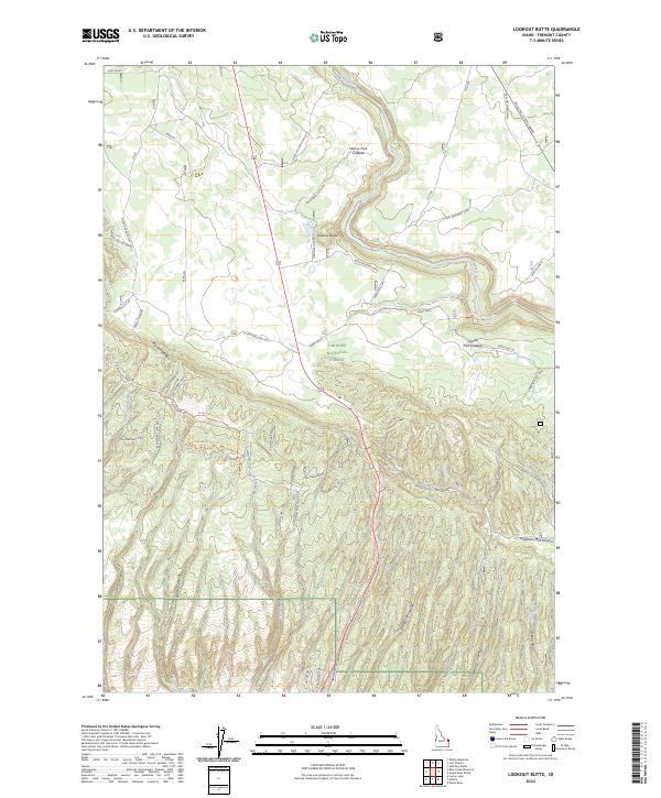
2024 Map of Lookout Butte
USGS Topo · Published 2024About this map
Henrys Fork winds through a complex volcanic landscape where the Henrys Fork Caldera meets the Island Park Caldera in eastern Idaho. This section of the Targhee National Forest is defined by a sharp transition from the level terrain of South Antelope Flat to the deeply incised drainages of Anderson Mill Canyon and Jump Off Canyon. The map reveals an extensive network of fire and timber access routes, such as the Rattlesnake Loop Trl and Big Bend Ridge Trl, which follow the high ground of Big Bend Ridge. At the center of the sheet, Lookout Butte provides a natural vantage point overlooking the river's descent toward Sheep Falls. The eastern edge is marked by the Mesa Falls Scenic Byway, showing the primary corridor for modern travel through this geologically significant region.
Find a feature on this map
54 named features on this map. Tap any name to fly to it.
Don’t see what you’re looking for? This feature index may not catch every label — zoom into the map to look around manually.
Map Details
Editions of this 2024 Lookout Butte Map
This is the sole edition of this map. No revisions or reprints were ever made.
Other maps of this area

1955 · Ashton
USGS Topo · 1:250,000

1958 · Ashton
USGS Topo · 1:250,000

1960 · Ashton
USGS Topo · 1:250,000

1964 · Hatchery Butte
USGS Topo · 1:24,000

1964 · Last Chance
USGS Topo · 1:24,000

1965 · Lemon Lake
USGS Topo · 1:24,000

1965 · Ashton
USGS Topo · 1:24,000

1965 · Lookout Butte
USGS Topo · 1:24,000

1965 · Snake River Butte
USGS Topo · 1:24,000

1965 · Blue Creek Reservoir
USGS Topo · 1:24,000