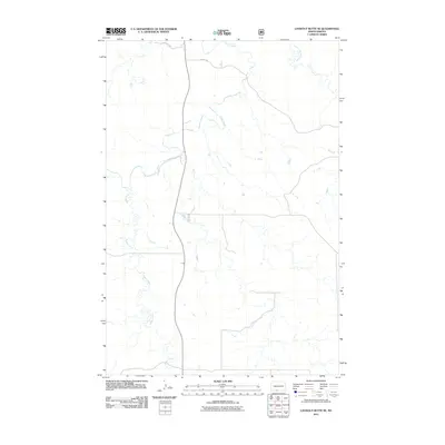
2011 Map of Lookout Butte SE
USGS Topo · Published 2011About this map
Cedar Creek meanders across this rural North Dakota landscape, carving a winding path through the northern half of the Porcupine District. The terrain is defined by its drainages, where the waters of Roger Creek flow through the western reaches while Leaf on the Hill Creek marks the northeastern corner. This 2011 survey by the U.S. Geological Survey shows a sparsely populated area where human infrastructure is limited to a simple grid of section-line roads, including 89th St SW and 90th St SW. The map provides a detailed look at the hydrology and topography of Sioux County before more modern developments altered the local environment, serving as a primary resource for researchers studying the natural drainage patterns of the Standing Rock reservation area.
Find a feature on this map
5 named features on this map. Tap any name to fly to it.
Don’t see what you’re looking for? This feature index may not catch every label — zoom into the map to look around manually.
Map Details
Editions of this 2011 Lookout Butte SE Map
This is the sole edition of this map. No revisions or reprints were ever made.
Other maps of this area

1953 · McIntosh
USGS Topo · 1:250,000

1954 · Bismarck
USGS Topo · 1:250,000

1958 · Bismarck
USGS Topo · 1:250,000

1958 · McIntosh
USGS Topo · 1:250,000

1971 · Lookout Butte
USGS Topo · 1:24,000

1971 · Shields SW
USGS Topo · 1:24,000

1971 · Shields
USGS Topo · 1:24,000

1971 · Lookout Butte SE
USGS Topo · 1:24,000

1972 · Hump Butte
USGS Topo · 1:24,000

1972 · McIntosh
USGS Topo · 1:24,000