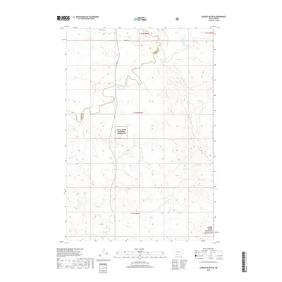
2018 Map of Lookout Butte SE
USGS Topo · Published 2018About this map
Cedar River National Grassland dominates this section of the Sioux County plains, showcasing a landscape defined by the drainage patterns of the Missouri River plateau. The topography is shaped by the winding courses of Cedar Cr and Roger Cr, which carve through the shortgrass prairie alongside smaller tributaries like Leaf on the Hill Cr. This area, situated along the border of Grant County and Sioux County, remains largely defined by its open range and federal land management. The grid of section lines is marked by a sparse network of rural routes, including 46th Ave SW and 89th St SW, which serve as the primary means of navigating the expansive terrain. This 2018 survey provides an essential view of the high plains just south of the Cannonball River watershed, where the interaction of water and wind has created a complex series of buttes and coulees.
Find a feature on this map
13 named features on this map. Tap any name to fly to it.
Don’t see what you’re looking for? This feature index may not catch every label — zoom into the map to look around manually.
Map Details
Editions of this 2018 Lookout Butte SE Map
This is the sole edition of this map. No revisions or reprints were ever made.
Other maps of this area

1953 · McIntosh
USGS Topo · 1:250,000

1954 · Bismarck
USGS Topo · 1:250,000

1958 · Bismarck
USGS Topo · 1:250,000

1958 · McIntosh
USGS Topo · 1:250,000

1971 · Lookout Butte
USGS Topo · 1:24,000

1971 · Shields SW
USGS Topo · 1:24,000

1971 · Shields
USGS Topo · 1:24,000

1971 · Lookout Butte SE
USGS Topo · 1:24,000

1972 · Hump Butte
USGS Topo · 1:24,000

1972 · McIntosh
USGS Topo · 1:24,000