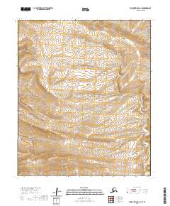
2020 Map of Lookout Ridge A-1 NW
USGS Topo · Published 2020About this map
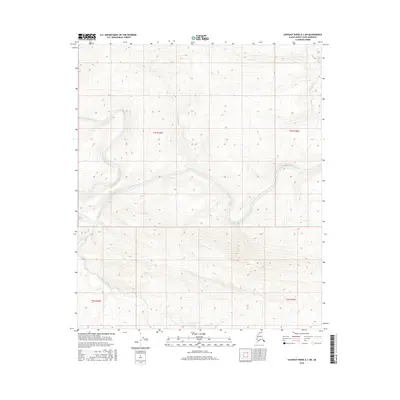
The North Slope Borough of Alaska in 2020 remains an expanse defined primarily by the systematic divisions of the Public Land Survey System rather than established settlements or naming conventions. This section of the Arctic landscape is surveyed into township and range blocks including T2s R19w, T3s R19w, and T2s R18w. The topographic data reveals a complex network of unnamed drainages and ridgelines that characterize the Lookout Ridge area, providing a rare high-resolution record of the terrain at the start of the decade. Without roads or permanent structures, the map serves as a fundamental geographical reference for navigating the remote interior of the North Slope, where the landform itself is the primary navigational feature.
Find a feature on this map
7 named features on this map. Tap any name to fly to it.
Don’t see what you’re looking for? This feature index may not catch every label — zoom into the map to look around manually.
Map Details
Editions of this 2020 Lookout Ridge A-1 NW Map
This is the sole edition of this map. No revisions or reprints were ever made.
Other maps of this area

1951 · Lookout Ridge
USGS Topo · 1:250,000

1956 · Lookout Ridge
USGS Topo · 1:250,000
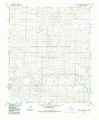
1984 · Lookout Ridge A-1
USGS Topo · 1:63,360
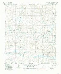
1984 · Lookout Ridge A-2
USGS Topo · 1:63,360
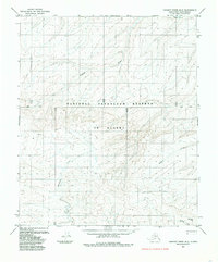
1985 · Lookout Ridge B-2
USGS Topo · 1:63,360
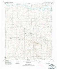
1985 · Lookout Ridge B-1
USGS Topo · 1:63,360
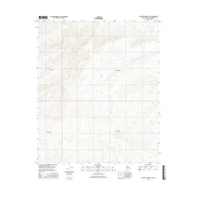
2016 · Lookout Ridge B-2 SE
USGS Topo · 1:25,000
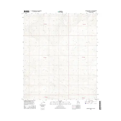
2016 · Lookout Ridge A-1 NE
USGS Topo · 1:25,000
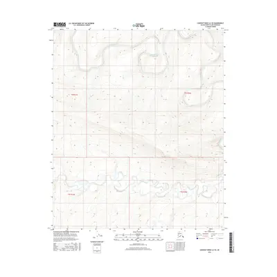
2016 · Lookout Ridge A-2 SE
USGS Topo · 1:25,000
2016 · Lookout Ridge A-1 SW
USGS Topo · 1:25,000