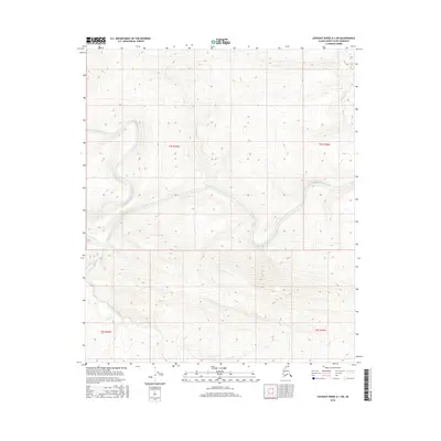
2016 Map of Lookout Ridge A-1 SW
USGS Topo · Published 2016About this map
The Awuna River meanders across this northern landscape, carving a wide valley through the varied elevations of the Lookout Ridge A-1 SW quadrangle. This 2016 survey provides a clear view of the complex hydrology in the North Slope Borough, where the Lookout River feeds into the larger drainage system from the southwest. The topographic contours reveal the subtle but significant landforms of the Arctic tundra, illustrating how these waterways dictate the physical layout of the region. As part of a larger survey effort by the U.S. Geological Survey, this map documents the uninhabited wilderness across township lines including t4s r19w and t5s r19w, offering a precise record of the river channels and surrounding ridges before natural shifts or environmental changes alter the course of these northern waters.
Find a feature on this map
6 named features on this map. Tap any name to fly to it.
Don’t see what you’re looking for? This feature index may not catch every label — zoom into the map to look around manually.
Map Details
Editions of this 2016 Lookout Ridge A-1 SW Map
This is the sole edition of this map. No revisions or reprints were ever made.
Other maps of this area

1951 · Lookout Ridge
USGS Topo · 1:250,000

1951 · Howard Pass
USGS Topo · 1:250,000

1956 · Lookout Ridge
USGS Topo · 1:250,000

1956 · Howard Pass
USGS Topo · 1:250,000

1984 · Howard Pass D-1
USGS Topo · 1:63,360
1984 · Howard Pass D-2
USGS Topo · 1:63,360
1984 · Lookout Ridge A-1
USGS Topo · 1:63,360
1984 · Lookout Ridge A-2
USGS Topo · 1:63,360
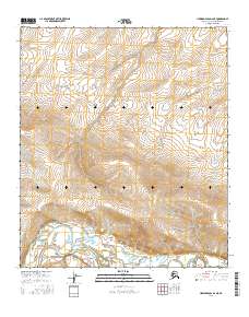
2016 · Howard Pass D-2 NE
USGS Topo · 1:25,000
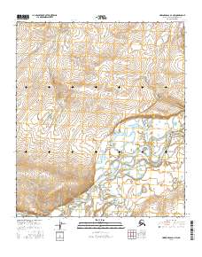
2016 · Howard Pass D-1 NW
USGS Topo · 1:25,000