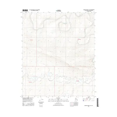
2016 Map of Lookout Ridge A-2 SE
USGS Topo · Published 2016About this map
Awuna River flows across the northern reaches of this Arctic landscape, where the hydrography is defined by tight oxbows and meandering tributaries. The terrain is structured by the Public Land Survey System grids of t4s r21w, t4s r20w, t5s r21w, and t5s r20w, reflecting the systematic mapping of the North Slope. To the south, the Lookout River cuts through the elevation, revealing a complex network of seasonal drainages and wetlands characteristic of this high-latitude environment. This 2016 survey, produced by the U.S. Geological Survey, uses data from the National Hydrography Dataset and National Elevation Dataset to document a region devoid of permanent settlements or roads, offering a primary record of the natural drainage patterns before further environmental shifts occur in the Alaskan wilderness.
Find a feature on this map
6 named features on this map. Tap any name to fly to it.
Don’t see what you’re looking for? This feature index may not catch every label — zoom into the map to look around manually.
Map Details
Editions of this 2016 Lookout Ridge A-2 SE Map
This is the sole edition of this map. No revisions or reprints were ever made.
Other maps of this area

1951 · Lookout Ridge
USGS Topo · 1:250,000

1951 · Howard Pass
USGS Topo · 1:250,000

1956 · Lookout Ridge
USGS Topo · 1:250,000

1956 · Howard Pass
USGS Topo · 1:250,000

1984 · Howard Pass D-1
USGS Topo · 1:63,360
1984 · Howard Pass D-2
USGS Topo · 1:63,360
1984 · Lookout Ridge A-1
USGS Topo · 1:63,360
1984 · Lookout Ridge A-2
USGS Topo · 1:63,360
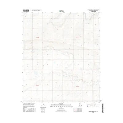
2016 · Lookout Ridge A-2 SW
USGS Topo · 1:25,000
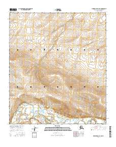
2016 · Howard Pass D-2 NE
USGS Topo · 1:25,000