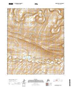
2020 Map of Lookout Ridge A-2 SE
USGS Topo · Published 2020About this map
The Awuna River and Lookout River define the drainage of this remote Arctic landscape in the North Slope Borough. This 2020 survey illustrates the meandering character of these water bodies as they snake across the tundra, which is marked by numerous small oxbows and marshy terrain characteristic of the region. The landscape is primarily organized by public land surveys, covering portions of t4s r21w, t4s r20w, t5s r21w, and t5s r20w. While devoid of permanent settlements or roads, the map provides precise topographic detail for the river valleys and the low-lying divides that separate these two significant northern waterways.
Find a feature on this map
6 named features on this map. Tap any name to fly to it.
Don’t see what you’re looking for? This feature index may not catch every label — zoom into the map to look around manually.
Map Details
Editions of this 2020 Lookout Ridge A-2 SE Map
This is the sole edition of this map. No revisions or reprints were ever made.
Other maps of this area

1951 · Lookout Ridge
USGS Topo · 1:250,000

1951 · Howard Pass
USGS Topo · 1:250,000

1956 · Lookout Ridge
USGS Topo · 1:250,000

1956 · Howard Pass
USGS Topo · 1:250,000

1984 · Howard Pass D-1
USGS Topo · 1:63,360
1984 · Howard Pass D-2
USGS Topo · 1:63,360
1984 · Lookout Ridge A-1
USGS Topo · 1:63,360
1984 · Lookout Ridge A-2
USGS Topo · 1:63,360
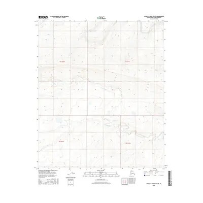
2016 · Lookout Ridge A-2 SW
USGS Topo · 1:25,000
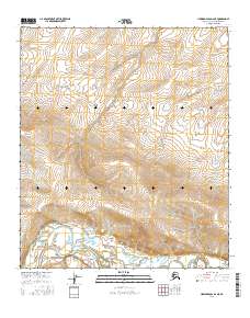
2016 · Howard Pass D-2 NE
USGS Topo · 1:25,000