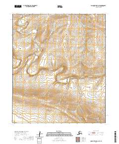
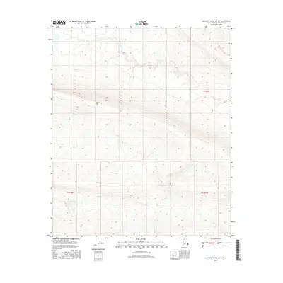
2020 Map of Lookout Ridge A-3 NW
USGS Topo · Published 2020About this map
The Awuna River meanders across this Arctic landscape, carving a wide valley through the North Slope’s upland terrain. This 2020 U.S. Geological Survey quadrangle focuses on a remote section of the Alaskan wilderness where the river serves as the primary geographic corridor. In the southwestern corner, the Lookout River enters the frame, marking a confluence area that defines the local drainage pattern. The map’s contour lines illustrate the gradual elevation changes of the surrounding ridges, emphasizing the isolated and undeveloped character of the North Slope Borough. This survey provides a precise modern record of the hydrologic features and township boundaries, including t3s r24w and t3s r23w, which are essential for navigating and managing this expansive roadless territory.
Find a feature on this map
8 named features on this map. Tap any name to fly to it.
Don’t see what you’re looking for? This feature index may not catch every label — zoom into the map to look around manually.
Map Details
Editions of this 2020 Lookout Ridge A-3 NW Map
This is the sole edition of this map. No revisions or reprints were ever made.
Other maps of this area

1951 · Lookout Ridge
USGS Topo · 1:250,000

1956 · Lookout Ridge
USGS Topo · 1:250,000
1984 · Lookout Ridge A-4
USGS Topo · 1:63,360
1984 · Lookout Ridge A-3
USGS Topo · 1:63,360
1985 · Lookout Ridge B-4
USGS Topo · 1:63,360
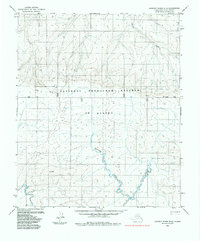
1985 · Lookout Ridge B-3
USGS Topo · 1:63,360
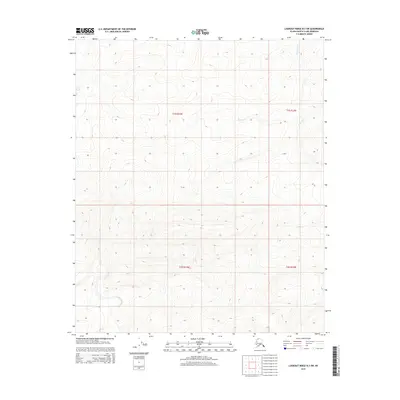
2015 · Lookout Ridge B-3 SW
USGS Topo · 1:25,000
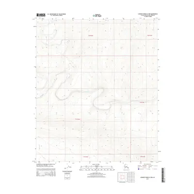
2015 · Lookout Ridge A-3 NW
USGS Topo · 1:25,000
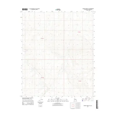
2015 · Lookout Ridge B-3 SE
USGS Topo · 1:25,000
2016 · Lookout Ridge A-3 SW
USGS Topo · 1:25,000