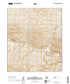
2020 Map of Lookout Ridge B-4 SE
USGS Topo · Published 2020About this map
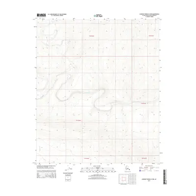
The North Slope of Alaska is defined by its vast, uninhabited tundra and the systematic organization of the Public Land Survey System (PLSS). This 2020 topographic study of the Lookout Ridge B-4 SE area highlights the precision of legal land partitioning in one of the most secluded regions of the United States. The map is centered on the boundaries of T1s R25w and T2s R25w, illustrating how the township and range system provides a skeletal framework for a landscape devoid of permanent settlements or modern infrastructure. The terrain is marked by subtle elevation changes and the meandering paths of unnamed drainages, reflecting the natural character of the Arctic wilderness. For researchers, the map serves as a primary source for understanding the modern spatial management of these remote territories, where boundary markers like T1s R24w and T2s R24w are the primary human-imposed features on an otherwise untouched environment.
Find a feature on this map
6 named features on this map. Tap any name to fly to it.
Don’t see what you’re looking for? This feature index may not catch every label — zoom into the map to look around manually.
Map Details
Editions of this 2020 Lookout Ridge B-4 SE Map
This is the sole edition of this map. No revisions or reprints were ever made.
Other maps of this area

1951 · Lookout Ridge
USGS Topo · 1:250,000

1956 · Lookout Ridge
USGS Topo · 1:250,000
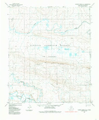
1984 · Lookout Ridge A-4
USGS Topo · 1:63,360
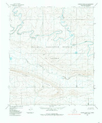
1984 · Lookout Ridge A-3
USGS Topo · 1:63,360
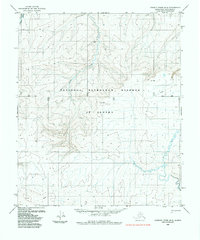
1985 · Lookout Ridge B-4
USGS Topo · 1:63,360
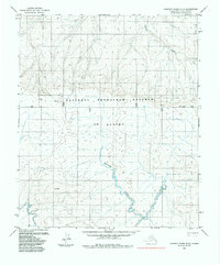
1985 · Lookout Ridge B-3
USGS Topo · 1:63,360
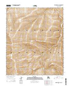
2014 · Lookout Ridge B-4 NW
USGS Topo · 1:25,000
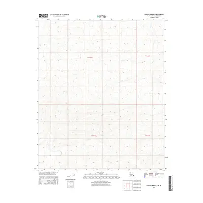
2015 · Lookout Ridge B-3 SW
USGS Topo · 1:25,000
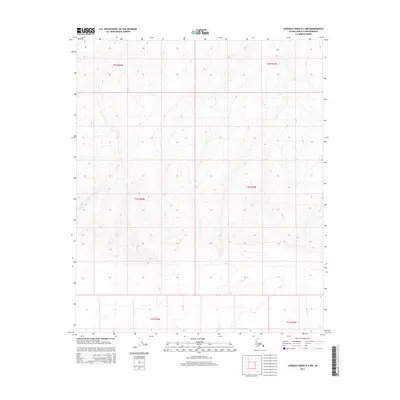
2015 · Lookout Ridge B-3 NW
USGS Topo · 1:25,000
2015 · Lookout Ridge A-3 NW
USGS Topo · 1:25,000