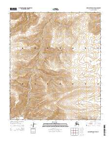
2015 Map of Lookout Ridge B-5 SW
USGS Topo · Published 2015About this map
Meade River and the Awuna River define the hydrographic landscape of this remote portion of the North Slope. Surveyed in the early 21st century, the map reveals a wilderness shaped by the seasonal flow of arctic waters, including Carbon Cr in the southwest and Shaningarok Cr in the northwest. The absence of roads or permanent settlements underscores the isolation of the Arctic Slope, where the land is primarily organized by the Public Land Survey System grids of t1s r29w and t1s r28w. This 2015 record documents the unaltered terrain before any further exploration or shift in land use, providing a high-resolution view of the intricate drainage patterns that characterize this high-latitude environment.
Find a feature on this map
8 named features on this map. Tap any name to fly to it.
Don’t see what you’re looking for? This feature index may not catch every label — zoom into the map to look around manually.
Map Details
Editions of this 2015 Lookout Ridge B-5 SW Map
This is the sole edition of this map. No revisions or reprints were ever made.
Other maps of this area

1951 · Utukok River
USGS Topo · 1:250,000

1951 · Lookout Ridge
USGS Topo · 1:250,000

1956 · Lookout Ridge
USGS Topo · 1:250,000

1956 · Utukok River
USGS Topo · 1:250,000

1965 · Utukok River
USGS Topo · 1:250,000
1984 · Utukok River A-1
USGS Topo · 1:63,360
1984 · Lookout Ridge A-5
USGS Topo · 1:63,360
1985 · Lookout Ridge B-5
USGS Topo · 1:63,360
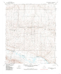
1985 · Utukok River B-1
USGS Topo · 1:63,360
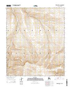
2014 · Utukok River B-1 NE
USGS Topo · 1:25,000