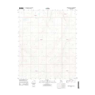
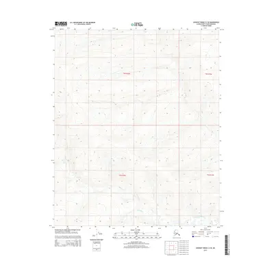
2015 Map of Lookout Ridge C-2 NE
USGS Topo · Published 2015About this map
Usuktuk River and the Topagoruk River define the hydrological landscape of this remote Arctic region within the Alaska North Slope. In this 2015 survey, the landscape is characterized by a dense network of seasonal drainage patterns and permafrost-influenced terrain, devoid of permanent human settlements or infrastructure. The topography is dominated by the gradual rise of the Arctic coastal plain towards the foothills, with the river systems carving subtle paths through the tundra. The mapping reveals the complex Public Land Survey System divisions, including sections of t4n r20w, t4n r19w, and t5n r20w, which are critical for understanding land management and resource potential in this protected wilderness area.
Find a feature on this map
8 named features on this map. Tap any name to fly to it.
Don’t see what you’re looking for? This feature index may not catch every label — zoom into the map to look around manually.
Map Details
Editions of this 2015 Lookout Ridge C-2 NE Map
This is the sole edition of this map. No revisions or reprints were ever made.
Other maps of this area

1951 · Lookout Ridge
USGS Topo · 1:250,000

1956 · Lookout Ridge
USGS Topo · 1:250,000
1984 · Lookout Ridge D-1
USGS Topo · 1:63,360
1984 · Lookout Ridge D-2
USGS Topo · 1:63,360
1985 · Lookout Ridge C-1
USGS Topo · 1:63,360
1985 · Lookout Ridge C-2
USGS Topo · 1:63,360
2015 · Lookout Ridge D-2 SE
USGS Topo · 1:25,000
2015 · Lookout Ridge D-1 SW
USGS Topo · 1:25,000
2015 · Lookout Ridge C-2 SW
USGS Topo · 1:25,000
2015 · Lookout Ridge C-2 SE
USGS Topo · 1:25,000