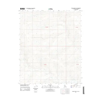
2015 Map of Lookout Ridge C-2 SE
USGS Topo · Published 2015About this map
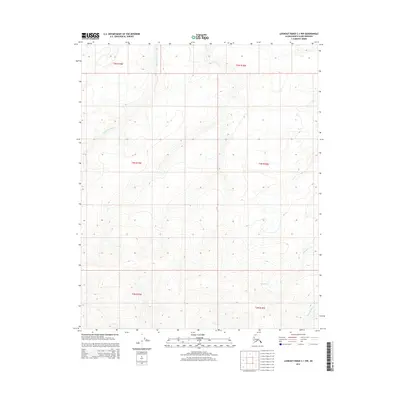
The Titaluk River winds through the southern reaches of this landscape, forming the primary drainage for a region defined by its repetitive, east-west trending ridges and shallow valleys. This 2015 survey by the U.S. Geological Survey documents a remote portion of the North Slope, organized by the Public Land Survey System into townships T3n R20w, T3n R19w, T2n R20w, and T2n R19w. The land here is largely uninhabited, with no named settlements, roads, or man-made structures visible on the map. Instead, the focus is on the intricate topography, captured with a detailed ten-foot contour interval that reveals the subtle elevations of the Lookout Ridge area. The mapping relies on 2010 SPOT imagery to trace the braided channel of the river and the vast, unpopulated terrain of the Arctic Slope.
Find a feature on this map
5 named features on this map. Tap any name to fly to it.
Don’t see what you’re looking for? This feature index may not catch every label — zoom into the map to look around manually.
Map Details
Editions of this 2015 Lookout Ridge C-2 SE Map
This is the sole edition of this map. No revisions or reprints were ever made.
Other maps of this area

1951 · Lookout Ridge
USGS Topo · 1:250,000

1956 · Lookout Ridge
USGS Topo · 1:250,000
1985 · Lookout Ridge B-2
USGS Topo · 1:63,360
1985 · Lookout Ridge C-1
USGS Topo · 1:63,360
1985 · Lookout Ridge B-1
USGS Topo · 1:63,360
1985 · Lookout Ridge C-2
USGS Topo · 1:63,360
2015 · Lookout Ridge C-2 NE
USGS Topo · 1:25,000
2015 · Lookout Ridge C-2 SW
USGS Topo · 1:25,000
2015 · Lookout Ridge C-1 SW
USGS Topo · 1:25,000
2015 · Lookout Ridge C-1 NW
USGS Topo · 1:25,000