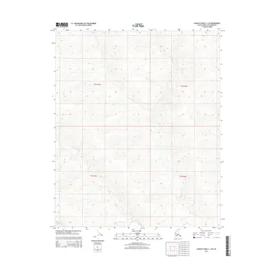
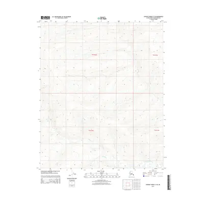
2015 Map of Lookout Ridge C-1 SW
USGS Topo · Published 2015About this map
The Titaluk River winds through the southern reaches of this landscape in the North Slope Borough, providing a vital drainage for the Arctic tundra. This survey delineates the Public Land Survey System boundaries for townships T3n R19w, T3n R18w, T2n R19w, and T2n R18w. The terrain is defined by the repetitive, undulating contours of Lookout Ridge, where the elevation changes underscore the remote character of the Alaskan wilderness. Map data sourced from the Alaska Dept. of Transportation and the National Hydrography Dataset provides a precise look at the river's path and the elevation profiles of the surrounding slopes during the early twenty-first century.
Find a feature on this map
5 named features on this map. Tap any name to fly to it.
Don’t see what you’re looking for? This feature index may not catch every label — zoom into the map to look around manually.
Map Details
Editions of this 2015 Lookout Ridge C-1 SW Map
This is the sole edition of this map. No revisions or reprints were ever made.
Other maps of this area

1951 · Lookout Ridge
USGS Topo · 1:250,000

1956 · Lookout Ridge
USGS Topo · 1:250,000
1985 · Lookout Ridge B-2
USGS Topo · 1:63,360
1985 · Lookout Ridge C-1
USGS Topo · 1:63,360
1985 · Lookout Ridge B-1
USGS Topo · 1:63,360
1985 · Lookout Ridge C-2
USGS Topo · 1:63,360
2015 · Lookout Ridge C-1 SE
USGS Topo · 1:25,000
2015 · Lookout Ridge C-2 NE
USGS Topo · 1:25,000
2015 · Lookout Ridge C-1 NE
USGS Topo · 1:25,000
2015 · Lookout Ridge C-2 SE
USGS Topo · 1:25,000