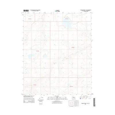
2015 Map of Lookout Ridge C-1 NE
USGS Topo · Published 2015About this map
Oumalik River meanders across this northern landscape, forming a central drainage pattern for the surrounding Arctic terrain. The region is characterized by subtle elevation changes and the presence of significant watercourses like Ishuktak Cr, which flows through the northwestern sections. This 2015 survey captures the hydrographic network as it existed in the early 21st century, showing how these waterways navigate the undulating contours of the North Slope. These features are critical markers for understanding the historical drainage and seasonal navigation patterns of the borough's interior prior to more recent environmental shifts.
Find a feature on this map
8 named features on this map. Tap any name to fly to it.
Don’t see what you’re looking for? This feature index may not catch every label — zoom into the map to look around manually.
Map Details
Editions of this 2015 Lookout Ridge C-1 NE Map
This is the sole edition of this map. No revisions or reprints were ever made.
Other maps of this area

1951 · Lookout Ridge
USGS Topo · 1:250,000

1951 · Ikpikpuk River
USGS Topo · 1:250,000

1956 · Lookout Ridge
USGS Topo · 1:250,000

1956 · Ikpikpuk River
USGS Topo · 1:250,000
1984 · Ikpikpuk River D-5
USGS Topo · 1:63,360
1984 · Lookout Ridge D-1
USGS Topo · 1:63,360
1985 · Lookout Ridge C-1
USGS Topo · 1:63,360
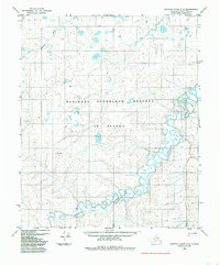
1985 · Ikpikpuk River C-5
USGS Topo · 1:63,360
2015 · Lookout Ridge C-1 SE
USGS Topo · 1:25,000
2015 · Lookout Ridge D-1 SW
USGS Topo · 1:25,000