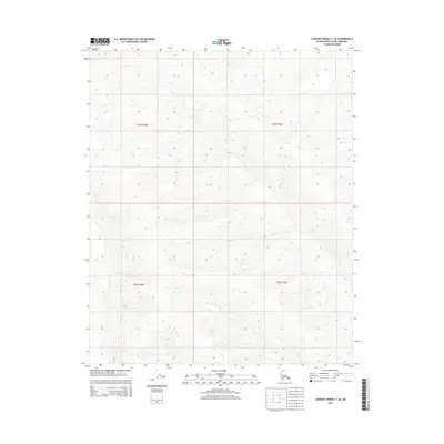
2015 Map of Lookout Ridge C-1 SE
USGS Topo · Published 2015About this map
Township lines including T3n R18w and T3n R17w define this remote expanse of the North Slope. Surveyed in the early 21st century by the U.S. Geological Survey using SPOT imagery and National Elevation Dataset contours, the map illustrates a landscape primarily characterized by its natural relief and hydrologic patterns rather than human infrastructure. The grid divisions of T2n R18w and T2n R17w provide the primary framework for locating specific coordinates within this undeveloped stretch of Arctic territory. This 2015 edition serves as a precise record of the topography and public land survey boundaries in a region where traditional roads and settlements are absent, highlighting the vastness of the borough's interior.
Find a feature on this map
4 named features on this map. Tap any name to fly to it.
Don’t see what you’re looking for? This feature index may not catch every label — zoom into the map to look around manually.
Map Details
Editions of this 2015 Lookout Ridge C-1 SE Map
This is the sole edition of this map. No revisions or reprints were ever made.
Other maps of this area

1951 · Lookout Ridge
USGS Topo · 1:250,000

1951 · Ikpikpuk River
USGS Topo · 1:250,000

1956 · Lookout Ridge
USGS Topo · 1:250,000

1956 · Ikpikpuk River
USGS Topo · 1:250,000
1985 · Lookout Ridge C-1
USGS Topo · 1:63,360
1985 · Lookout Ridge B-1
USGS Topo · 1:63,360
1985 · Ikpikpuk River C-5
USGS Topo · 1:63,360
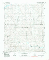
1985 · Ikpikpuk River B-5
USGS Topo · 1:63,360
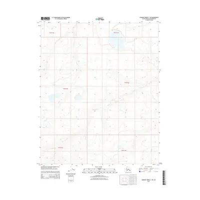
2015 · Lookout Ridge C-1 NE
USGS Topo · 1:25,000
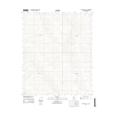
2015 · Lookout Ridge C-1 SW
USGS Topo · 1:25,000