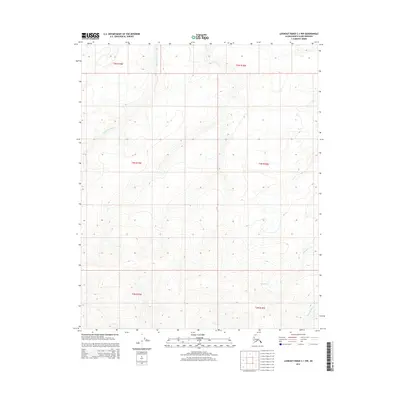
2015 Map of Lookout Ridge C-1 NW
USGS Topo · Published 2015About this map
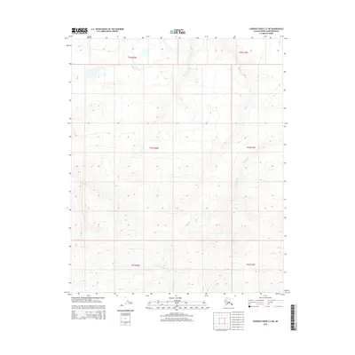
Topagoruk River meanders across the northwestern reaches of this Arctic landscape within the Lookout Ridge quadrangle. The terrain is defined by its drainage patterns, where the headwaters of the Ishuktak Cr and the Ounalik River begin their course through the North Slope. This 2015 U.S. Geological Survey representation documents the vast, uninhabited stretches of the Public Land Survey System, specifically covering portions of Townships 3, 4, and 5 North within Ranges 18 and 19 West. The map captures the subtle elevation changes of the tundra, illustrating how water naturally collects and flows toward the Arctic coast. For those studying the hydrology of the Alaskan interior or the precise boundaries of North Slope borough lands, this sheet provides exact placement of these seasonal and perennial waterways.
Find a feature on this map
9 named features on this map. Tap any name to fly to it.
Don’t see what you’re looking for? This feature index may not catch every label — zoom into the map to look around manually.
Map Details
Editions of this 2015 Lookout Ridge C-1 NW Map
This is the sole edition of this map. No revisions or reprints were ever made.
Other maps of this area

1951 · Lookout Ridge
USGS Topo · 1:250,000

1956 · Lookout Ridge
USGS Topo · 1:250,000
1984 · Lookout Ridge D-1
USGS Topo · 1:63,360
1984 · Lookout Ridge D-2
USGS Topo · 1:63,360
1985 · Lookout Ridge C-1
USGS Topo · 1:63,360
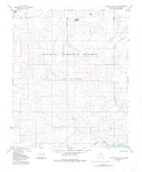
1985 · Lookout Ridge C-2
USGS Topo · 1:63,360
2015 · Lookout Ridge C-1 SE
USGS Topo · 1:25,000
2015 · Lookout Ridge D-2 SE
USGS Topo · 1:25,000
2015 · Lookout Ridge D-1 SW
USGS Topo · 1:25,000
2015 · Lookout Ridge C-2 NE
USGS Topo · 1:25,000