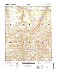
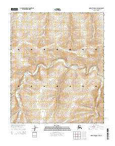
2014 Map of Lookout Ridge C-5 NE
USGS Topo · Published 2014About this map
Shaningarok Ridge defines the core of this remote landscape in the North Slope Borough, where the topography gradually descends toward the northern coast. This particular survey represents a pristine wilderness environment as it stood in the early 21st century, documented by the U.S. Geological Survey through SPOT imagery and official name data. The map is primarily characterized by its significant vertical relief and the drainage patterns of the Shaningarok Cr, which flows through the southern portion of the quadrangle.
Find a feature on this map
8 named features on this map. Tap any name to fly to it.
Don’t see what you’re looking for? This feature index may not catch every label — zoom into the map to look around manually.
Map Details
Editions of this 2014 Lookout Ridge C-5 NE Map
This is the sole edition of this map. No revisions or reprints were ever made.
Other maps of this area

1951 · Lookout Ridge
USGS Topo · 1:250,000

1956 · Lookout Ridge
USGS Topo · 1:250,000
1984 · Lookout Ridge D-5
USGS Topo · 1:63,360
1984 · Lookout Ridge D-4
USGS Topo · 1:63,360
1984 · Lookout Ridge C-5
USGS Topo · 1:63,360
1984 · Lookout Ridge C-4
USGS Topo · 1:63,360
2014 · Lookout Ridge D-4 SW
USGS Topo · 1:25,000
2014 · Lookout Ridge C-5 SW
USGS Topo · 1:25,000
2014 · Lookout Ridge C-5 NW
USGS Topo · 1:25,000
2014 · Lookout Ridge C-4 SW
USGS Topo · 1:25,000