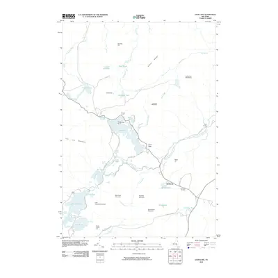
2010 Map of Loon Lake
USGS Topo · Published 2010About this map
Loon Lake and its surrounding mountain ranges dominate this Adirondack landscape as it appeared in the early 21st century. The map shows a complex network of waterways, including the North Branch Saranac River and Elbow Brook, which cut through the high terrain of the Elbow Range and Goldsmith Mountains. Human settlement is concentrated at Merrillsville, where the Merrillsville Cemetery remains a point of local interest, and the small cluster at Molasses Corners. The presence of the D & H Rd hints at the region's historic rail-line heritage, now converted for modern use. To the southwest, the terrain transitions into a dense cluster of ponds and campsites near Lake Kushaqua and Buck Pond, reflecting the area's role in forest recreation and conservation within the Adirondack Park.
Find a feature on this map
54 named features on this map. Tap any name to fly to it.
Don’t see what you’re looking for? This feature index may not catch every label — zoom into the map to look around manually.
Map Details
Editions of this 2010 Loon Lake Map
This is the sole edition of this map. No revisions or reprints were ever made.
Other maps of this area

1896 · Lake Placid
USGS Topo · 1:62,500

1898 · Lake Placid
USGS Topo · 1:62,500

1902 · Saranac
USGS Topo · 1:62,500

1904 · Saranac
USGS Topo · 1:62,500

1906 · Loon Lake
USGS Topo · 1:62,500

1908 · Loon Lake
USGS Topo · 1:62,500

1911 · Lyon Mountain
USGS Topo · 1:62,500

1913 · Lyon Mountain
USGS Topo · 1:62,500

1931 · Lyon Mountain
USGS Topo · 1:62,500

1948 · Ogdensburg
USGS Topo · 1:250,000