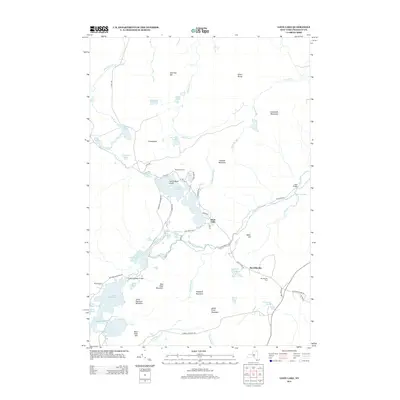
2013 Map of Loon Lake
USGS Topo · Published 2013About this map
Loon Lake and the surrounding Adirondack highlands define this 2013 topographic survey of Franklin County. The landscape is dominated by complex water systems, including the Salmon River to the north and the N Br Saranac River winding through the center. Small settlements such as Merrillsville and Molasses Corners serve as local anchors, while the Merrillsville Cem provides a point of interest for those researching regional family history.
Find a feature on this map
69 named features on this map. Tap any name to fly to it.
Don’t see what you’re looking for? This feature index may not catch every label — zoom into the map to look around manually.
Map Details
Editions of this 2013 Loon Lake Map
This is the sole edition of this map. No revisions or reprints were ever made.
Other maps of this area

1896 · Lake Placid
USGS Topo · 1:62,500

1898 · Lake Placid
USGS Topo · 1:62,500

1902 · Saranac
USGS Topo · 1:62,500

1904 · Saranac
USGS Topo · 1:62,500

1906 · Loon Lake
USGS Topo · 1:62,500

1908 · Loon Lake
USGS Topo · 1:62,500

1911 · Lyon Mountain
USGS Topo · 1:62,500

1913 · Lyon Mountain
USGS Topo · 1:62,500

1931 · Lyon Mountain
USGS Topo · 1:62,500

1948 · Ogdensburg
USGS Topo · 1:250,000