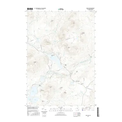
2016 Map of Loon Lake
USGS Topo · Published 2016About this map
The hamlets of Loon Lake and Merrillsville anchor this portion of the northern Adirondack Park, where the landscape is defined by a dense network of glacial ponds and mountain ridges. The North Branch Saranac River winds through the central valley, connecting smaller bodies of water like Mountain Pond and Mud Pond. To the west, the expansive Lake Kushaqua and Kushaqua Narrows provide a major hydrological landmark, while the heights of the Loon Lake Mountains and Goldsmith Mountains dominate the horizon.
Find a feature on this map
58 named features on this map. Tap any name to fly to it.
Don’t see what you’re looking for? This feature index may not catch every label — zoom into the map to look around manually.
Map Details
Editions of this 2016 Loon Lake Map
This is the sole edition of this map. No revisions or reprints were ever made.
Other maps of this area

1896 · Lake Placid
USGS Topo · 1:62,500

1898 · Lake Placid
USGS Topo · 1:62,500

1902 · Saranac
USGS Topo · 1:62,500

1904 · Saranac
USGS Topo · 1:62,500

1906 · Loon Lake
USGS Topo · 1:62,500

1908 · Loon Lake
USGS Topo · 1:62,500

1911 · Lyon Mountain
USGS Topo · 1:62,500

1913 · Lyon Mountain
USGS Topo · 1:62,500

1931 · Lyon Mountain
USGS Topo · 1:62,500

1948 · Ogdensburg
USGS Topo · 1:250,000