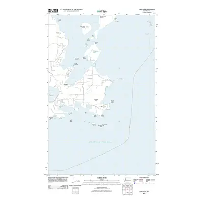
2011 Map of Lopez Pass
USGS Topo · Published 2011About this map
Islandale serves as the primary coastal settlement on this southern portion of Lopez Island, where narrow roads like Mud Bay Rd and Mackaye Harbor Rd wind through a landscape defined by deep inlets and rocky promontories. The maritime character of the San Juan Islands is evident in the numerous sheltered waters, such as Mackaye Harbor, Hughes Bay, and Watmough Bay, which are protected by distinctive terrain features like Watmough Head and Point Colville.
Find a feature on this map
73 named features on this map. Tap any name to fly to it.
Don’t see what you’re looking for? This feature index may not catch every label — zoom into the map to look around manually.
Map Details
Editions of this 2011 Lopez Pass Map
This is the sole edition of this map. No revisions or reprints were ever made.
Other maps of this area

1943 · Richardson
USGS Topo · 1:62,500

1943 · Orcas Island
USGS Topo · 1:62,500

1943 · Deception Pass
USGS Topo · 1:62,500

1943 · Anacortes
USGS Topo · 1:62,500

1951 · Deception Pass
USGS Topo · 1:62,500

1951 · Anacortes
USGS Topo · 1:62,500

1957 · Richardson
USGS Topo · 1:62,500

1957 · Orcas Island
USGS Topo · 1:62,500

1957 · Victoria
USGS Topo · 1:250,000

1973 · Cypress Island
USGS Topo · 1:24,000