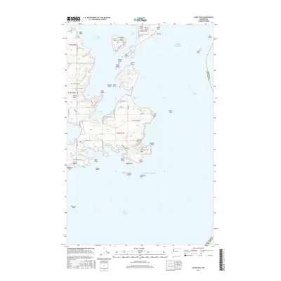
2017 Map of Lopez Pass
USGS Topo · Published 2017About this map
Islandale serves as a focal point on the eastern coast of Lopez Island, overlooking the complex waterways of the San Juan Islands. The landscape is defined by its maritime infrastructure, including the Decatur Shores Airport on Decatur Island and the Center Island Airport, which facilitate travel between these detached landmasses. This 2017 survey reveals a shorefront of deep bays and prominent headlands, such as the steep Chadwick Hill rising above Watmough Bay and the jagged southern tip at Point Colville.
Find a feature on this map
93 named features on this map. Tap any name to fly to it.
Don’t see what you’re looking for? This feature index may not catch every label — zoom into the map to look around manually.
Map Details
Editions of this 2017 Lopez Pass Map
This is the sole edition of this map. No revisions or reprints were ever made.
Other maps of this area

1943 · Richardson
USGS Topo · 1:62,500

1943 · Orcas Island
USGS Topo · 1:62,500

1943 · Deception Pass
USGS Topo · 1:62,500

1943 · Anacortes
USGS Topo · 1:62,500

1951 · Deception Pass
USGS Topo · 1:62,500

1951 · Anacortes
USGS Topo · 1:62,500

1957 · Richardson
USGS Topo · 1:62,500

1957 · Orcas Island
USGS Topo · 1:62,500

1957 · Victoria
USGS Topo · 1:250,000

1973 · Cypress Island
USGS Topo · 1:24,000