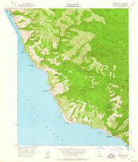
1956 Map of Lopez Point
USGS Topo · Published 1960About this map
Mining Ridge and the steep slopes of the Los Padres National Forest define this coastal landscape as it appeared in the mid-1950s. The map illustrates a coastline shaped by complex geology, from the Rock Slide West near Slates Hot Springs to the southern reaches of Limekiln Creek. Settlement is sparse, limited to small outposts like Lucia and remote mountain camps such as Lower Bee Camp and Trail Spring Camp. Along the shoreline, the presence of the Sea Otter Game Refuge and John Little State Park indicates a mid-century focus on conservation and public land management.
Find a feature on this map
37 named features on this map. Tap any name to fly to it.
Don’t see what you’re looking for? This feature index may not catch every label — zoom into the map to look around manually.
Map Details
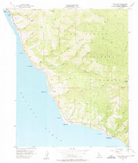
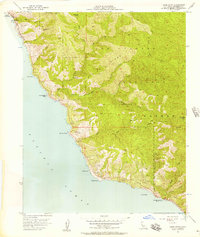
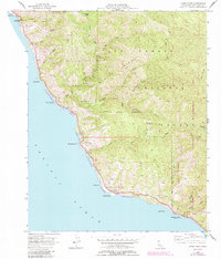
Editions of this 1956 Lopez Point Map
4 editions found
Other maps of this area

1919 · Junipero Serra
USGS Topo · 1:62,500

1921 · Cape San Martin
USGS Topo · 1:62,500

1921 · Lucia
USGS Topo · 1:62,500

1941 · Cape San Martin
USGS Topo · 1:62,500

1941 · Lucia
USGS Topo · 1:62,500

1941 · Junipero Serra
USGS Topo · 1:62,500

1942 · Cape San Martin
USGS Topo · 1:62,500

1947 · Lucia
USGS Topo · 1:62,500

1947 · San Luis Obispo
USGS Topo · 1:250,000

1948 · Santa Cruz
USGS Topo · 1:250,000