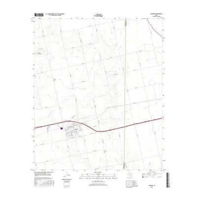
2016 Map of Loraine
USGS Topo · Published 2016About this map
Loraine stands as the primary hub of this Mitchell County landscape, situated along the Interstate 20 corridor where W Houston Ave and E-I-20 Access Rd define the town's movement. The terrain to the north is shaped by the winding course of the N Fork Champion Cr, which cuts through the rangeland toward the prominence of Lone Wolf Mtn. For those tracing local heritage, the map identifies several significant landmarks outside the main settlement, including the Union Chapel Cem and Wallace Cem. The area’s rural character is maintained by a network of county roads like Co Rd 462 and farm-to-market routes such as Fm 1982, which connect the town to the nearby Mitchell and Nolan county line.
Find a feature on this map
65 named features on this map. Tap any name to fly to it.
Don’t see what you’re looking for? This feature index may not catch every label — zoom into the map to look around manually.
Map Details
Editions of this 2016 Loraine Map
This is the sole edition of this map. No revisions or reprints were ever made.
Other maps of this area

1950 · Colorado City SE
USGS Topo · 1:24,000

1952 · China Grove
USGS Topo · 1:24,000

1952 · Colorado City
USGS Topo · 1:24,000

1954 · Big Spring
USGS Topo · 1:250,000

1958 · Big Spring
USGS Topo · 1:250,000

1969 · Baumann School
USGS Topo · 1:24,000

1969 · Bench Mountain
USGS Topo · 1:24,000

1969 · Loraine
USGS Topo · 1:24,000

1969 · Bernecker
USGS Topo · 1:24,000

1969 · Roscoe
USGS Topo · 1:24,000