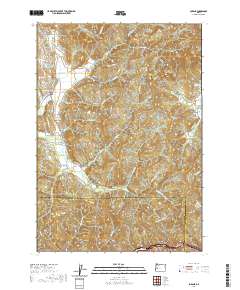
2020 Map of Lorane
USGS Topo · Published 2020About this map
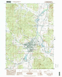
The S Fork Siuslaw River headwaters define this portion of the Coast Range foothills, where the settlements of Lorane and Royal are situated among a complex network of ridges. This 2020 topographic record highlights significant local genealogical sites, including the Crow Family Cem and the Independent Order of Good Templars Cem located near the junction of Cottage Grove Lorane Rd. The landscape is shaped by prominent heights such as Hawley Ridge, Long Ridge, and the distinct Lorane Mtn Bald Butte. Modern agricultural and viticultural interests appear via the King Estate and Chateau Lorane properties, while water management is evidenced by the Nossaman Reservoir and the containment of Lake Louise. The southern portion of the sheet marks the transition from Lane County into Douglas County across the heavily timbered terrain of Green Ridge.
Find a feature on this map
57 named features on this map. Tap any name to fly to it.
Don’t see what you’re looking for? This feature index may not catch every label — zoom into the map to look around manually.
Map Details
Editions of this 2020 Lorane Map
This is the sole edition of this map. No revisions or reprints were ever made.
Other maps of this area
1921 · Cottage Grove
USGS Topo · 1:62,500
1942 · Crow
USGS Topo · 1:62,500
1945 · Crow
USGS Topo · 1:62,500
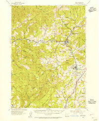
1954 · Drain
USGS Topo · 1:62,500
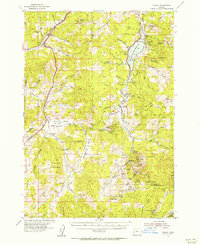
1954 · Anlauf
USGS Topo · 1:62,500
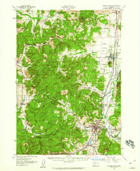
1957 · Cottage Grove
USGS Topo · 1:62,500

1958 · Roseburg
USGS Topo · 1:250,000

1959 · Roseburg
USGS Topo · 1:250,000
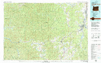
1979 · Cottage Grove
USGS Topo · 1:100,000
1984 · Cottage Grove
USGS Topo · 1:24,000