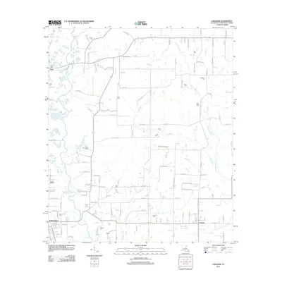
2012 Map of Loranger
USGS Topo · Published 2012About this map
The Tangipahoa River carves a winding path through this portion of Tangipahoa Parish, defining a landscape marked by a dense network of small tributaries and family-named cemeteries. In the southern reach, the community of Loranger serves as a local hub, situated near the Loranger Cem and the waters of Scott Cr. The settlement pattern is largely rural, with established neighborhoods like Smiling Acres and the recreational grounds of Camp Whispering Pines scattered among the pines and hardwoods.
Find a feature on this map
81 named features on this map. Tap any name to fly to it.
Don’t see what you’re looking for? This feature index may not catch every label — zoom into the map to look around manually.
Map Details
Editions of this 2012 Loranger Map
This is the sole edition of this map. No revisions or reprints were ever made.
Other maps of this area

1940 · Tickfaw
USGS Topo · 1:31,680

1940 · Roseland
USGS Topo · 1:31,680

1942 · Roseland
USGS Topo · 1:31,680

1942 · Husser
USGS Topo · 1:31,680

1942 · Robert
USGS Topo · 1:31,680

1942 · Wilmer
USGS Topo · 1:31,680

1942 · Loranger
USGS Topo · 1:31,680

1949 · Bolivar
USGS Topo · 1:31,680

1949 · Amite
USGS Topo · 1:31,680

1949 · Albany
USGS Topo · 1:31,680