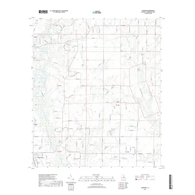
2018 Map of Loranger
USGS Topo · Published 2018About this map
The Tangipahoa River and its numerous tributaries, including Big Creek and Sweetwater Cr, carve through this section of Tangipahoa Parish, defining the landscape around the settlements of Loranger, Independence, Velma, and Amite. The density of family and community burial grounds, such as Donaldson Cem, Cutrer Cem, and Ballard Cem, suggests a long-settled rural community with deep genealogical roots. Local infrastructure is evidenced by the presence of Le-Blanc Field and a network of named country roads like Isreal Cutrer Rd and Old McMichael Rd. The drainage patterns of small waterways like Mixon Br and Dick Br illustrate the transition from upland ridges to the river's floodplain, where small-scale agriculture and timber once drove the local economy.
Find a feature on this map
140 named features on this map. Tap any name to fly to it.
Don’t see what you’re looking for? This feature index may not catch every label — zoom into the map to look around manually.
Map Details
Editions of this 2018 Loranger Map
This is the sole edition of this map. No revisions or reprints were ever made.
Other maps of this area

1940 · Tickfaw
USGS Topo · 1:31,680

1940 · Roseland
USGS Topo · 1:31,680

1942 · Roseland
USGS Topo · 1:31,680

1942 · Husser
USGS Topo · 1:31,680

1942 · Robert
USGS Topo · 1:31,680

1942 · Wilmer
USGS Topo · 1:31,680

1942 · Loranger
USGS Topo · 1:31,680

1949 · Bolivar
USGS Topo · 1:31,680

1949 · Amite
USGS Topo · 1:31,680

1949 · Albany
USGS Topo · 1:31,680