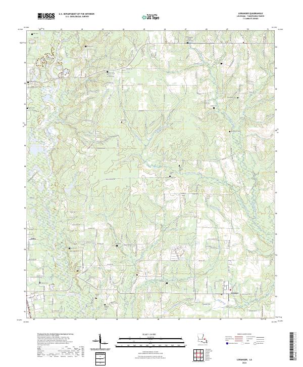
2024 Map of Loranger
USGS Topo · Published 2024About this map
The Tangipahoa River and its intricate network of tributaries define the landscape of this portion of Tangipahoa Parish, where small farming settlements and family cemeteries are scattered across the low-lying terrain. The community of Loranger serves as a local hub, anchored by the Loranger Cem and surrounding rural roads like Sweetwater Rd. To the west, the village of Velma sits near the riverbanks. For those researching local lineages, the map is densely populated with small burial grounds, including the Bennett Family Cem, Casanova Cem, and Donaldson Cem. The drainage pattern is complex, with numerous named waterways such as Little Chappepeela Creek, Mixon Branch, and Scott Creek winding through the woods and fields. A small airstrip, Le-Blanc Field, provides a modern landmark among these long-established homesteads and country churches like the Hayden Grove Church of Christ Cem.
Find a feature on this map
156 named features on this map. Tap any name to fly to it.
Don’t see what you’re looking for? This feature index may not catch every label — zoom into the map to look around manually.
Map Details
Editions of this 2024 Loranger Map
This is the sole edition of this map. No revisions or reprints were ever made.
Other maps of this area

1940 · Tickfaw
USGS Topo · 1:31,680

1940 · Roseland
USGS Topo · 1:31,680

1942 · Roseland
USGS Topo · 1:31,680

1942 · Husser
USGS Topo · 1:31,680

1942 · Robert
USGS Topo · 1:31,680

1942 · Wilmer
USGS Topo · 1:31,680

1942 · Loranger
USGS Topo · 1:31,680

1949 · Bolivar
USGS Topo · 1:31,680

1949 · Amite
USGS Topo · 1:31,680

1949 · Albany
USGS Topo · 1:31,680