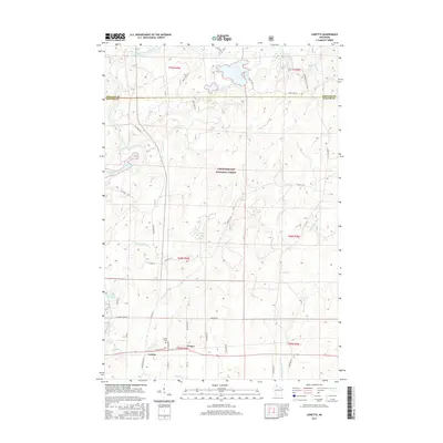
2015 Map of Loretta
USGS Topo · Published 2015About this map
Loretta and Draper serve as the primary focal points of this northern Wisconsin landscape, situated along the southern edge of the Chequamegon National Forest. The topography is defined by an intricate network of waterways, including the East Fork Chippewa River which snakes through the northwest, and the Thornapple River and Brunet River which drain the central and eastern reaches. This 2015 survey reveals a terrain shaped by both glacial hydrology and human movement, evidenced by the numerous lakes such as Blaisdell Lake and Bear Lake. Genealogists and local historians will find value in the location of the Loretta Cem and the persistent path of Old Grade Rd, reflecting the region's logging and settlement history. The presence of smaller features like Flyblow Cr and Loretta Lake further illustrates the dense riparian character of this Sawyer County wilderness.
Find a feature on this map
45 named features on this map. Tap any name to fly to it.
Don’t see what you’re looking for? This feature index may not catch every label — zoom into the map to look around manually.
Map Details
Editions of this 2015 Loretta Map
This is the sole edition of this map. No revisions or reprints were ever made.
Other maps of this area

1941 · Kennedy
USGS Topo · 1:48,000

1942 · Glidden
USGS Topo · 1:48,000

1942 · Clam Lake
USGS Topo · 1:48,000

1944 · Draper
USGS Topo · 1:48,000

1945 · Kennedy
USGS Topo · 1:48,000

1945 · Clam Lake
USGS Topo · 1:48,000

1945 · Glidden
USGS Topo · 1:48,000

1947 · Draper
USGS Topo · 1:48,000

1953 · Ashland
USGS Topo · 1:250,000

1953 · Rice Lake
USGS Topo · 1:250,000