
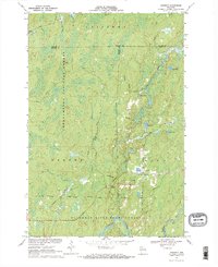
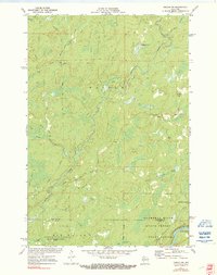
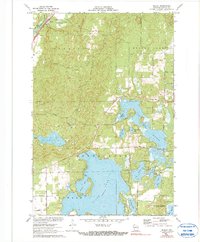
2022 Map of Loretta
USGS Topo · Published 2022About this map
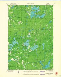
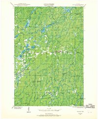
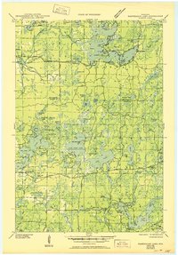
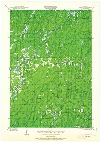
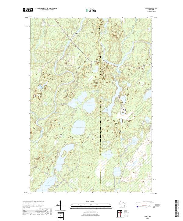
The timber-rich border between Sawyer and Ashland counties is defined by the dense tracts of the Chequamegon National Forest. The small communities of Loretta and Draper serve as the primary hubs in this woodland landscape, connected by the historical corridor of Old Hwy 70. This map illustrates a transition in the local economy from its logging roots to modern recreation, with extensive trail systems like the Tuscobia State Trl and the Dead Horse Run Trl following old transport routes. Numerous waterways including the East Fork Chippewa River, Brunet River, and Thornapple River lace through the forest, while family-named roads and the Draper Cem provide valuable touchstones for genealogists researching the residents of these northern Wisconsin hamlets. The terrain is marked by pockets of water such as Bear Lake and Cub Lake near the northern boundary.
Find a feature on this map
39 named features on this map. Tap any name to fly to it.
Don’t see what you’re looking for? This feature index may not catch every label — zoom into the map to look around manually.
Map Details
Editions of this 2022 Loretta Map
This is the sole edition of this map. No revisions or reprints were ever made.
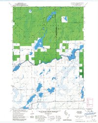
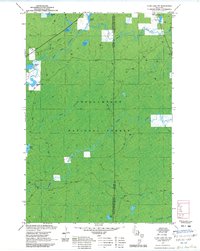
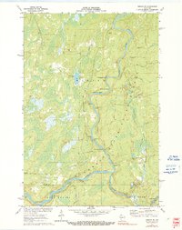
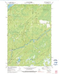
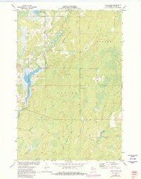
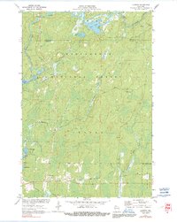
Historical Maps of Draper Through Time
46 maps found
1943 Namekagon Lake
Sawyer County, WI
1944 Draper
Sawyer County, WI
1945 Namekagon Lake
Sawyer County, WI
1947 Draper
Sawyer County, WI
1970 Kennedy
Sawyer County, WI

1970 Oxbo
Sawyer County, WI

1971 Babbs Island
Sawyer County, WI
1971 Blaisdell Lake
Sawyer County, WI
1971 Clam Lake SW
Sawyer County, WI

1971 Hauer
Sawyer County, WI
1971 Ingram NE
Sawyer County, WI
1971 Ingram NW
Sawyer County, WI
1971 Kennan NW
Sawyer County, WI
1971 Lake Winter
Sawyer County, WI
1971 Loretta
Sawyer County, WI
1971 Seeley
Sawyer County, WI

1971 Spider Lake
Sawyer County, WI
1972 Barker Lake
Sawyer County, WI

1972 Edgewater
Sawyer County, WI

1972 Hogsback Creek
Sawyer County, WI

1972 Weirgor
Sawyer County, WI

2005 Barker Lake
Sawyer County, WI

2005 Blaisdell Lake
Sawyer County, WI

2005 Clam Lake SW
Sawyer County, WI

2005 Kennedy
Sawyer County, WI

2005 Loretta
Sawyer County, WI

2005 Moose Lake
Sawyer County, WI

2005 Spider Lake
Sawyer County, WI
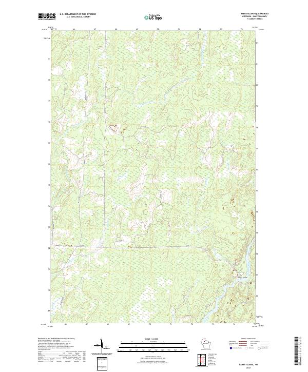
2022 Babbs Island
Sawyer County, WI

2022 Barker Lake
Sawyer County, WI

2022 Blaisdell Lake
Sawyer County, WI

2022 Clam Lake SW
Sawyer County, WI
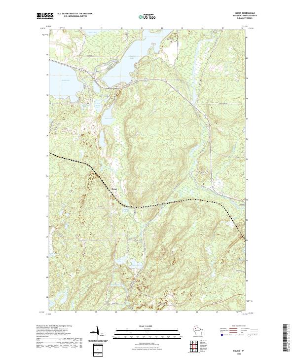
2022 Hauer
Sawyer County, WI

2022 Hogsback Creek
Sawyer County, WI
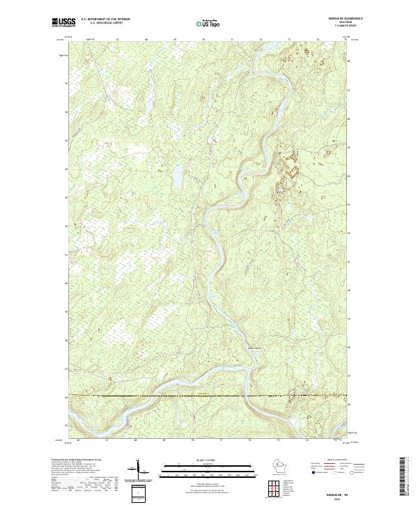
2022 Ingram NE
Sawyer County, WI
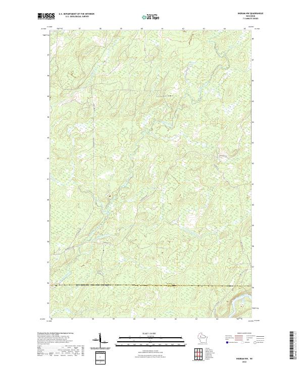
2022 Ingram NW
Sawyer County, WI

2022 Kennan NW
Sawyer County, WI

2022 Kennedy
Sawyer County, WI
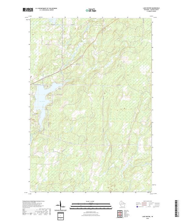
2022 Lake Winter
Sawyer County, WI
2022 Loretta
Sawyer County, WI
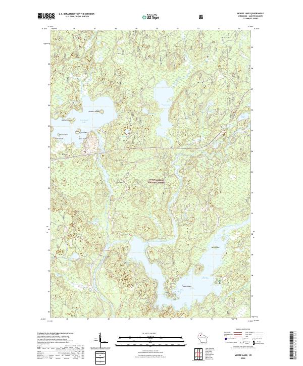
2022 Moose Lake
Sawyer County, WI
2022 Oxbo
Sawyer County, WI

2022 Seeley
Sawyer County, WI
2022 Spider Lake
Sawyer County, WI

2022 Weirgor
Sawyer County, WI

2023 Edgewater
Sawyer County, WI