
1953 Map of Loretto
USGS Topo · Published 1954About this map
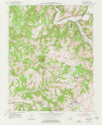
The Sisters of Loretto Convent stands as a spiritual and social center in this rural Kentucky landscape, located near the community of Nerinx. The 1953 topography reveals a deeply dissected terrain of knobs and hollows, where life followed the drainage of Beech Fork and Pottinger Creek. Small rural settlements like Holy Cross and Saint Francis are defined by their parish churches and schools, such as Smocks Ch and St Francis High Sch, reflecting the strong Catholic heritage of this region on the border of Marion, Nelson, and Washington Counties.
Find a feature on this map
43 named features on this map. Tap any name to fly to it.
Don’t see what you’re looking for? This feature index may not catch every label — zoom into the map to look around manually.
Map Details
Editions of this 1953 Loretto Map
3 editions found
Other maps of this area

1949 · Cravens
USGS Topo · 1:24,000

1949 · Shepherdsville
USGS Topo · 1:62,500

1953 · Howardstown
USGS Topo · 1:24,000

1953 · Maud
USGS Topo · 1:24,000

1953 · Saint Catharine
USGS Topo · 1:24,000

1953 · Bardstown
USGS Topo · 1:24,000

1953 · New Haven
USGS Topo · 1:24,000

1953 · Raywick
USGS Topo · 1:24,000

1953 · Lebanon West
USGS Topo · 1:24,000

1957 · Winchester
USGS Topo · 1:250,000