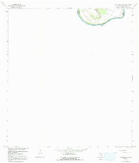
1965 Map of Los Ebanos NW
USGS Topo · Published 1991About this map
The Rio Grande creates a sharp, northward-winding loop at the international boundary between the United States and Mexico in this mid-1960s survey. This specific river bend features Valadeces Banco No 130, a piece of land defined by the river's shifting course along the border of Texas and Tamaulipas. The landscape is sparse, with the map focusing almost entirely on the topographical nuances of the riverbank and the immediate shoreline. A solitary Well is the primary evidence of human infrastructure in this particular pocket of Starr County, suggesting a remote agricultural or resource-extraction site. This survey captures the precise position of the river and its associated banco before subsequent natural or engineered changes could alter the border's character in this section of the Rio Grande Valley.
Find a feature on this map
5 named features on this map. Tap any name to fly to it.
Don’t see what you’re looking for? This feature index may not catch every label — zoom into the map to look around manually.
Map Details
Editions of this 1965 Los Ebanos NW Map
2 editions found
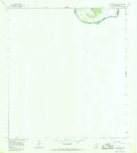
Other maps of this area

1949 · Mc Allen
USGS Topo · 1:250,000

1954 · McAllen
USGS Topo · 1:250,000

1956 · Garcias
USGS Topo · 1:62,500

1956 · Los Ebanos
USGS Topo · 1:62,500

1956 · Escobares
USGS Topo · 1:62,500

1957 · Mc Allen
USGS Topo · 1:250,000

1962 · McAllen
USGS Topo · 1:250,000

1965 · Rio Grande City South
USGS Topo · 1:24,000

1965 · La Grulla
USGS Topo · 1:24,000
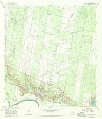
1965 · Sullivan City
USGS Topo · 1:24,000