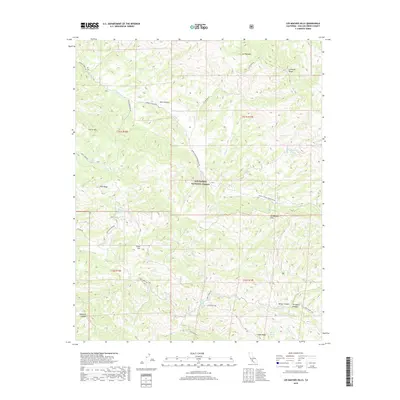
2018 Map of Los Machos Hills
USGS Topo · Published 2018About this map
The Salinas River headwaters and the eastern slopes of the La Panza Range dominate this corner of the California interior. This high-country landscape within the Los Padres National Forest is defined by its seasonal hydrology and rugged ranching access, featuring numerous named water sources such as Madlesna Spring, Potrero Spring, and Cable Corral Spring. The terrain transitions from the heights of Garcia Mtn and Pine Ridge down into deep incisions like Aliso Canyon and Wilcox Canyon.
Find a feature on this map
41 named features on this map. Tap any name to fly to it.
Don’t see what you’re looking for? This feature index may not catch every label — zoom into the map to look around manually.
Map Details
Editions of this 2018 Los Machos Hills Map
This is the sole edition of this map. No revisions or reprints were ever made.
Other maps of this area

1922 · Pozo
USGS Topo · 1:62,500

1922 · Nipomo
USGS Topo · 1:62,500

1932 · La Panza
USGS Topo · 1:48,000

1935 · La Panza
USGS Topo · 1:62,500

1936 · La Panza
USGS Topo · 1:62,500

1937 · Branch Mtn
USGS Topo · 1:48,000

1942 · Branch Mountain
USGS Topo · 1:62,500

1947 · San Luis Obispo
USGS Topo · 1:250,000

1948 · San Luis Obispo
USGS Topo · 1:250,000
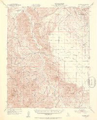
1952 · La Panza
USGS Topo · 1:62,500