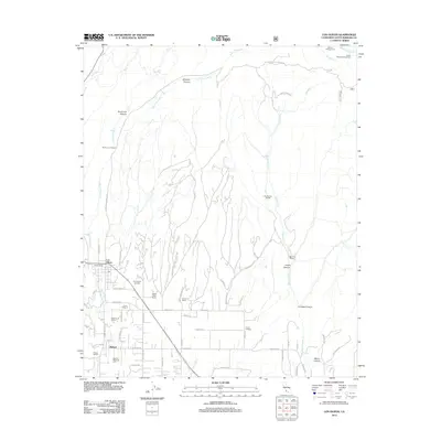
2012 Map of Los Olivos
USGS Topo · Published 2012About this map
Los Olivos and the neighboring settlement of Ballard anchor this Santa Barbara County landscape, where agriculture and viticulture define the valley floor. The map highlights the specialized land use of the region, featuring named estates like The Brander Vineyard, Houtz Vineyard, and J Carey Cellars. This concentration of wineries and ranches, including Rancho Los Olivos and White Gate Ranch, reflects the area's transition into a premier wine-growing district.
Find a feature on this map
59 named features on this map. Tap any name to fly to it.
Don’t see what you’re looking for? This feature index may not catch every label — zoom into the map to look around manually.
Map Details
Editions of this 2012 Los Olivos Map
This is the sole edition of this map. No revisions or reprints were ever made.
Other maps of this area

1902 · Santa Ynez
USGS Topo · 1:125,000

1905 · Santa Ynez
USGS Topo · 1:125,000

1905 · Lompoc
USGS Topo · 1:125,000

1941 · San Rafael Mtn.
USGS Topo · 1:62,500

1941 · McPherson Peak
USGS Topo · 1:62,500

1942 · Lompoc
USGS Topo · 1:125,000

1942 · San Rafael Mtn.
USGS Topo · 1:62,500

1942 · Tepusquet Peak
USGS Topo · 1:62,500

1942 · Los Olivos
USGS Topo · 1:62,500

1943 · San Rafael Mtn.
USGS Topo · 1:62,500