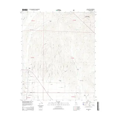
2015 Map of Los Olivos
USGS Topo · Published 2015About this map
The Santa Ynez Valley serves as the heart of this region, where the small communities of Los Olivos and Ballard are situated. This area is characterized by a transition from the level floor of the valley to the more complex terrain of the Purisima Hills and the slopes of the Los Padres National Forest. Water is a defining element of the geography, with Alamo Pintado Cr and Santa Agueda Cr draining the numerous canyons that cut through the landscape.
Find a feature on this map
66 named features on this map. Tap any name to fly to it.
Don’t see what you’re looking for? This feature index may not catch every label — zoom into the map to look around manually.
Map Details
Editions of this 2015 Los Olivos Map
This is the sole edition of this map. No revisions or reprints were ever made.
Other maps of this area

1902 · Santa Ynez
USGS Topo · 1:125,000

1905 · Santa Ynez
USGS Topo · 1:125,000

1905 · Lompoc
USGS Topo · 1:125,000

1941 · San Rafael Mtn.
USGS Topo · 1:62,500

1941 · McPherson Peak
USGS Topo · 1:62,500

1942 · Lompoc
USGS Topo · 1:125,000

1942 · San Rafael Mtn.
USGS Topo · 1:62,500

1942 · Tepusquet Peak
USGS Topo · 1:62,500

1942 · Los Olivos
USGS Topo · 1:62,500

1943 · San Rafael Mtn.
USGS Topo · 1:62,500