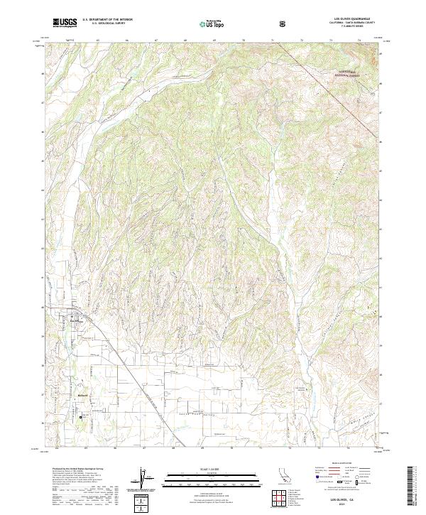
2021 Map of Los Olivos
USGS Topo · Published 2021About this map
Santa Ynez Valley settlement patterns are clearly defined on this 2021 study, where the town of Los Olivos sits at the junction of several historic transport routes. The layout of the region reflects a transition from the structured residential blocks of Ballard to the agricultural expanses and winding canyon roads to the north. A Cem near the southern boundary and the San Lorenzo Seminary to the east provide specific points of interest for genealogists and local historians.
Find a feature on this map
94 named features on this map. Tap any name to fly to it.
Don’t see what you’re looking for? This feature index may not catch every label — zoom into the map to look around manually.
Map Details
Editions of this 2021 Los Olivos Map
This is the sole edition of this map. No revisions or reprints were ever made.
Other maps of this area

1902 · Santa Ynez
USGS Topo · 1:125,000

1905 · Santa Ynez
USGS Topo · 1:125,000

1905 · Lompoc
USGS Topo · 1:125,000

1941 · San Rafael Mtn.
USGS Topo · 1:62,500

1941 · McPherson Peak
USGS Topo · 1:62,500

1942 · Lompoc
USGS Topo · 1:125,000

1942 · San Rafael Mtn.
USGS Topo · 1:62,500

1942 · Tepusquet Peak
USGS Topo · 1:62,500

1942 · Los Olivos
USGS Topo · 1:62,500

1943 · San Rafael Mtn.
USGS Topo · 1:62,500