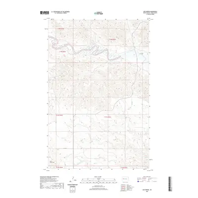
2020 Map of Lost Bridge
USGS Topo · Published 2020About this map
The Little Missouri River meanders across the northern portion of this Dunn County landscape, carving a deep valley that stands in sharp contrast to the surrounding high plains. Near the eastern edge, the crossing at Lost Bridge serves as a critical point of orientation in an otherwise sparsely settled region of the Missouri Plateau. The terrain is defined by dramatic elevation changes, notably at the southern margin where the prominence of North Killdeer Mtn rises above the drainage basins.
Find a feature on this map
13 named features on this map. Tap any name to fly to it.
Don’t see what you’re looking for? This feature index may not catch every label — zoom into the map to look around manually.
Map Details
Editions of this 2020 Lost Bridge Map
This is the sole edition of this map. No revisions or reprints were ever made.
Other maps of this area

1953 · Watford City
USGS Topo · 1:250,000

1957 · Watford City
USGS Topo · 1:250,000

1958 · North Killdeer Mountain
USGS Topo · 1:24,000

1959 · Croff
USGS Topo · 1:24,000

1967 · Watford City
USGS Topo · 1:250,000

1970 · Mandaree
USGS Topo · 1:24,000

1970 · Lost Bridge
USGS Topo · 1:24,000

1970 · Figure 4 Ranch
USGS Topo · 1:24,000

1970 · Dunn Center NW
USGS Topo · 1:24,000

1970 · Mandaree SW
USGS Topo · 1:24,000