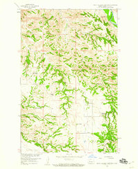
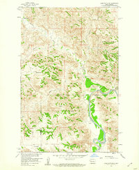
1958 Map of North Killdeer Mountain
USGS Topo · Published 1960About this map
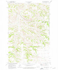
North Killdeer Mountain rises sharply above the broken rangeland of Dunn County, providing a stark geographic anchor in this 1950s survey of the Missouri River Basin. The landscape is defined by its drainage network, where Big Gulch and Cedar Coulee carve through the terrain toward the winding L Missouri R in the northeast corner. This map captures a specific era of post-war ranching, documenting the dispersed family operations that sustained the local economy.
Find a feature on this map
25 named features on this map. Tap any name to fly to it.
Don’t see what you’re looking for? This feature index may not catch every label — zoom into the map to look around manually.
Map Details
Editions of this 1958 North Killdeer Mountain Map
2 editions found
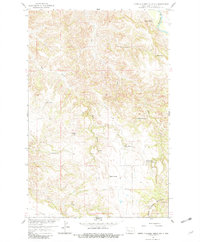
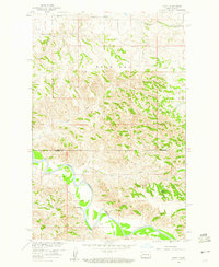
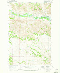
Other maps of this area

1953 · Watford City
USGS Topo · 1:250,000

1957 · Watford City
USGS Topo · 1:250,000
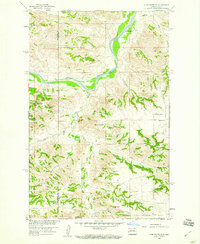
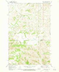
1958 · Lone Butte SE
USGS Topo · 1:24,000
1959 · Croff
USGS Topo · 1:24,000
1959 · Lone Butte NE
USGS Topo · 1:24,000

1967 · Watford City
USGS Topo · 1:250,000
1970 · Lost Bridge
USGS Topo · 1:24,000
1970 · Figure 4 Ranch
USGS Topo · 1:24,000
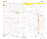
1974 · Killdeer
USGS Topo · 1:100,000
1974 · Petes Creek
USGS Topo · 1:24,000