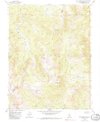
1954 Map of Lost Cannon Peak
USGS Topo · Published 1979About this map
Toiyabe National Forest encompasses this high-altitude landscape along the border of Alpine and Mono counties, where glacial valleys and steep peaks define the Sierra Nevada terrain. The map captures a moment in the mid-1950s when the region was primarily managed for seasonal grazing and water resources, evidenced by the presence of Connells Cow Camp near Upper Fish Valley. Water systems are central to this geography, from the dramatic Llewellyn Falls to the high-country drainage of Lost Cannon Creek and the marshy expanses of Summit Meadow. A series of prominent summits, including Lost Cannon Peak, Antelope Peak, and Wells Peak, form a rugged backdrop for the intricate network of canyons like Bull Canyon and Four Mile Canyon. The high-elevation basins of Coyote Valley and Corral Valley Creek illustrate the natural corridors used by seasonal travelers and forest rangers before major modernization reached these alpine reaches.
Find a feature on this map
27 named features on this map. Tap any name to fly to it.
Don’t see what you’re looking for? This feature index may not catch every label — zoom into the map to look around manually.
Map Details
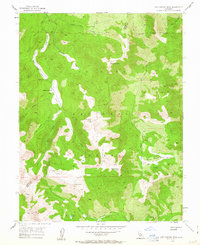
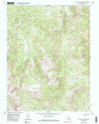
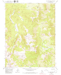
Editions of this 1954 Lost Cannon Peak Map
5 editions found

Other maps of this area

1889 · Markleeville
USGS Topo · 1:125,000

1891 · Markleeville
USGS Topo · 1:125,000

1891 · Wellington
USGS Topo · 1:125,000

1893 · Markleeville
USGS Topo · 1:125,000

1893 · Wellington
USGS Topo · 1:125,000

1896 · Dardanelles
USGS Topo · 1:125,000

1898 · Dardanelles
USGS Topo · 1:125,000

1909 · Bridgeport
USGS Topo · 1:125,000

1911 · Bridgeport
USGS Topo · 1:125,000

1920 · Bridgeport
USGS Topo · 1:125,000