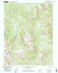
1954 Map of Lost Cannon Peak
USGS Topo · Published 1979About this map
Toiyabe National Forest encompasses this high-altitude landscape along the border of Alpine and Mono counties. The terrain is characterized by a series of steep drainages including Silver Creek, Four Mile Canyon, and Lost Cannon Creek, which flow through dramatic elevation changes marked by Llewellyn Falls. Evidence of seasonal land use is anchored at Connells Cow Camp, situated in a narrow valley between Coyote Valley and the surrounding peaks. The map details a network of high-country summits, from the namesake Lost Cannon Peak to Antelope Peak and White Mtn, providing an exact view of the hydrology and topographic obstacles encountered in this part of the Sierra Nevada. High meadows like Summit Meadow and water bodies such as Chango Lake offer specific points of reference for tracing early grazing routes and survey lines.
Find a feature on this map
25 named features on this map. Tap any name to fly to it.
Don’t see what you’re looking for? This feature index may not catch every label — zoom into the map to look around manually.
Map Details
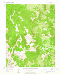
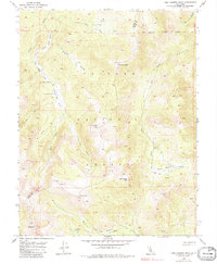
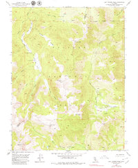
Editions of this 1954 Lost Cannon Peak Map
5 editions found

Other maps of this area

1889 · Markleeville
USGS Topo · 1:125,000

1891 · Markleeville
USGS Topo · 1:125,000

1891 · Wellington
USGS Topo · 1:125,000

1893 · Markleeville
USGS Topo · 1:125,000

1893 · Wellington
USGS Topo · 1:125,000

1896 · Dardanelles
USGS Topo · 1:125,000

1898 · Dardanelles
USGS Topo · 1:125,000

1909 · Bridgeport
USGS Topo · 1:125,000

1911 · Bridgeport
USGS Topo · 1:125,000

1920 · Bridgeport
USGS Topo · 1:125,000