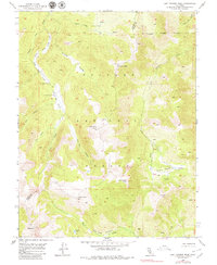
1954 Map of Lost Cannon Peak
USGS Topo · Published 1979About this map
Connells Cow Camp sits as a lonely human outpost in the high-elevation backcountry of the Toiyabe National Forest, marking the intersection of traditional grazing lands and the natural drainage systems of the Sierra Nevada. This 1954 field-checked survey highlights a terrain defined by steep canyons and prominent summits, including Lost Cannon Peak and Antelope Peak. The drainage patterns are intricate, with Silver Lower Fish Valley Creek and Upper Fish Valley Creek converging near Llewellyn Falls. At the southern edge, the map identifies Silver Creek Meadows and Chango Lake beneath the shadow of Wells Peak. The lack of developed infrastructure, noted only by an unimproved dirt track, emphasizes the area's use for seasonal cattle ranching and wilderness navigation along the Alpine and Mono County line.
Find a feature on this map
29 named features on this map. Tap any name to fly to it.
Don’t see what you’re looking for? This feature index may not catch every label — zoom into the map to look around manually.
Map Details
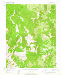
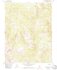
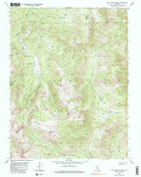
Editions of this 1954 Lost Cannon Peak Map
5 editions found

Other maps of this area

1889 · Markleeville
USGS Topo · 1:125,000

1891 · Markleeville
USGS Topo · 1:125,000

1891 · Wellington
USGS Topo · 1:125,000

1893 · Markleeville
USGS Topo · 1:125,000

1893 · Wellington
USGS Topo · 1:125,000

1896 · Dardanelles
USGS Topo · 1:125,000

1898 · Dardanelles
USGS Topo · 1:125,000

1909 · Bridgeport
USGS Topo · 1:125,000

1911 · Bridgeport
USGS Topo · 1:125,000

1920 · Bridgeport
USGS Topo · 1:125,000