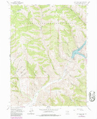
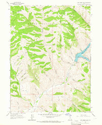
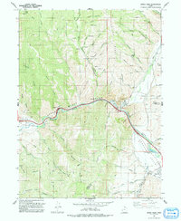
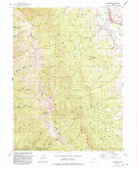
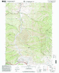
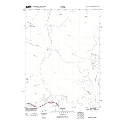
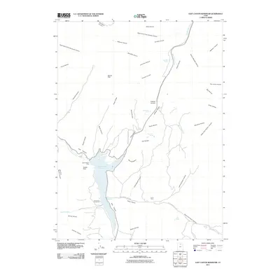
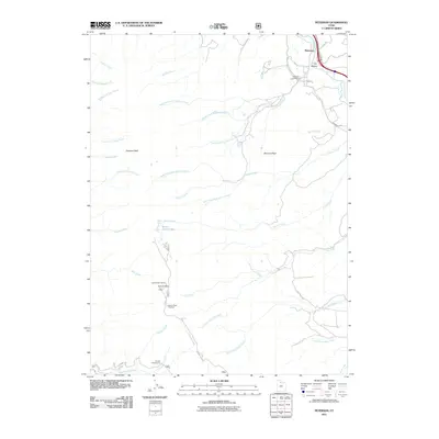
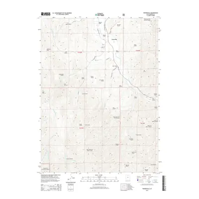
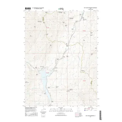
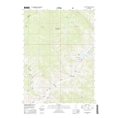
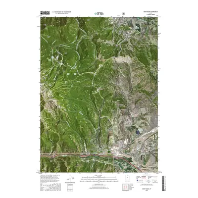
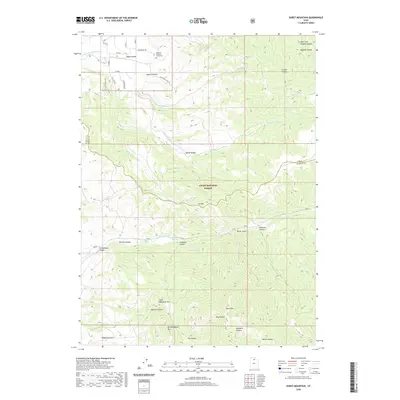
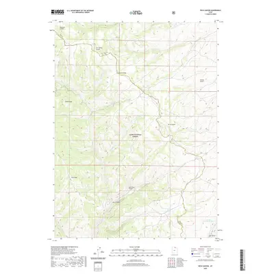
1964 Map of Lost Creek Dam
USGS Topo · Published 1986About this map
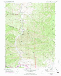
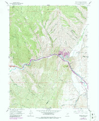
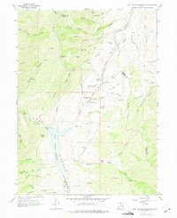
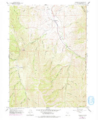
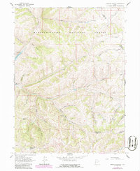
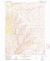
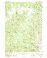
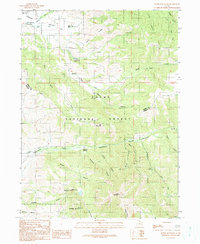
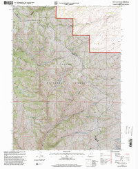
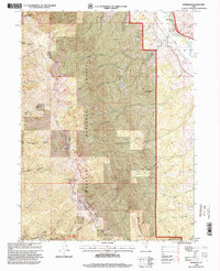
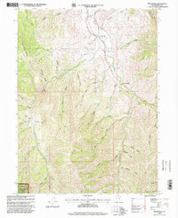
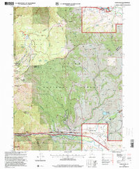
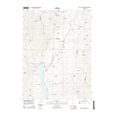
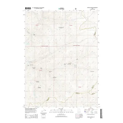
Wasatch Cache National Forest dominates this mountain landscape along the border of Weber and Morgan Counties. The terrain is characterized by a dense network of drainages and high points, including the prominent Guilder peak and the broad expanse of Big Flat. A primary water management feature is the Lost Creek Reservoir, held by the Lost Creek Dam at an elevation of 6005 feet. Below the dam, the canyon floor supports a Gaging Station to monitor the flow of Lost Creek. Evidence of early resource extraction appears in the south, where the Robinson Mine is located near Paradise Canyon. The map reveals a transition from natural ridges like Stark Ridge and Heitman Ridge to industrial additions like a long-distance Pipeline and mountain roads.
Find a feature on this map
42 named features on this map. Tap any name to fly to it.
Don’t see what you’re looking for? This feature index may not catch every label — zoom into the map to look around manually.
Map Details
Editions of this 1964 Lost Creek Dam Map
2 editions found
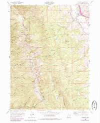
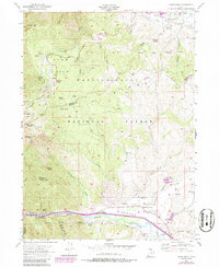
Historical Maps of Weber County Through Time
83 maps found
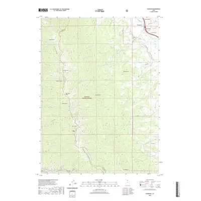
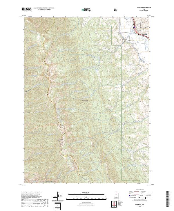
1955 Peterson
Morgan County, UT
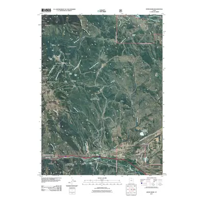
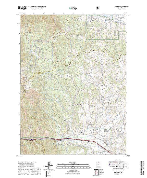
1955 Snow Basin
Morgan County, UT
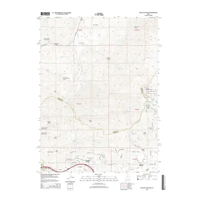
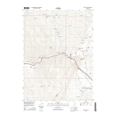
1961 Big Dutch Hollow
Morgan County, UT
1961 Devils Slide
Morgan County, UT
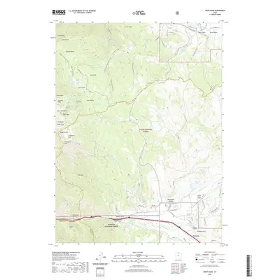
1961 East Canyon Reservoir
Morgan County, UT
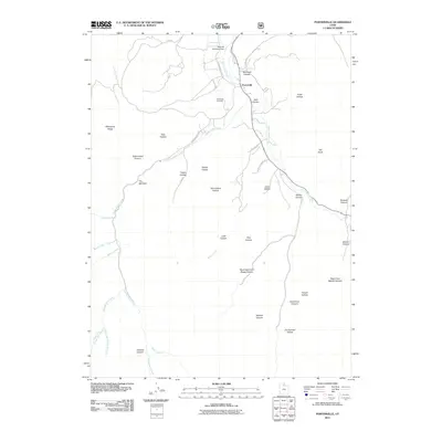
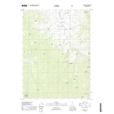
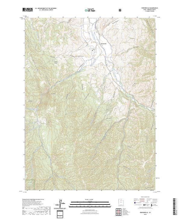
1961 Porterville
Morgan County, UT
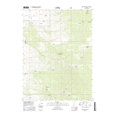
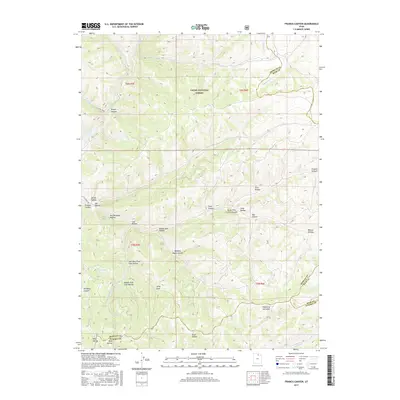
1964 Francis Canyon
Morgan County, UT
1964 Lost Creek Dam
Morgan County, UT
1968 Peck Canyon
Morgan County, UT
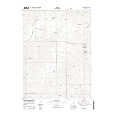
1990 Bybee Knoll
Morgan County, UT
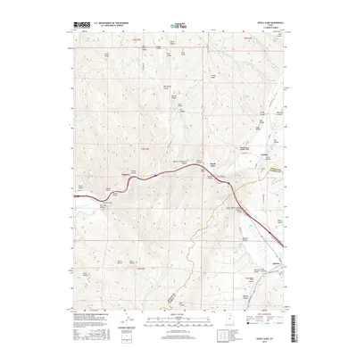
1990 Durst Mountain
Morgan County, UT
1991 Devils Slide
Morgan County, UT
1991 Francis Canyon
Morgan County, UT
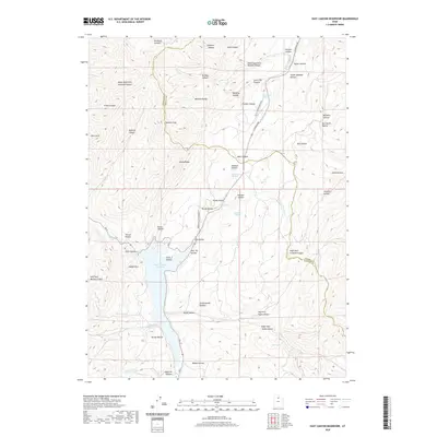
1991 Lost Creek Dam
Morgan County, UT
1991 Peck Canyon
Morgan County, UT
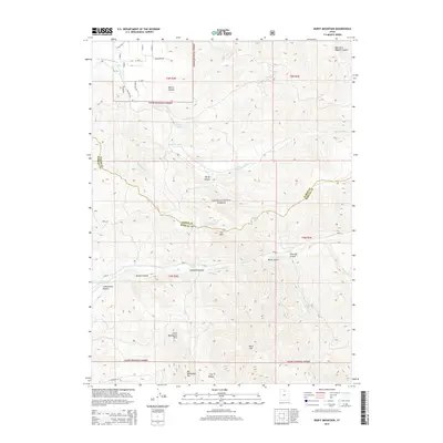
1991 Peterson
Morgan County, UT
1992 Snow Basin
Morgan County, UT
1997 Devils Slide
Morgan County, UT
1997 East Canyon Reservoir
Morgan County, UT
1998 Big Dutch Hollow
Morgan County, UT
1998 Bybee Knoll
Morgan County, UT
1998 Durst Mountain
Morgan County, UT
1998 Francis Canyon
Morgan County, UT

1998 Lost Creek Dam
Morgan County, UT
1998 Peck Canyon
Morgan County, UT
1998 Peterson
Morgan County, UT
1998 Porterville
Morgan County, UT
1998 Snow Basin
Morgan County, UT
2011 Big Dutch Hollow
Morgan County, UT
2011 Bybee Knoll
Morgan County, UT
2011 Devils Slide
Morgan County, UT
2011 Durst Mountain
Morgan County, UT
2011 East Canyon Reservoir
Morgan County, UT
2011 Francis Canyon
Morgan County, UT
2011 Lost Creek Dam
Morgan County, UT
2011 Peck Canyon
Morgan County, UT
2011 Peterson
Morgan County, UT
2011 Porterville
Morgan County, UT
2011 Snow Basin
Morgan County, UT
2014 Big Dutch Hollow
Morgan County, UT
2014 Bybee Knoll
Morgan County, UT
2014 Devils Slide
Morgan County, UT
2014 Durst Mountain
Morgan County, UT
2014 East Canyon Reservoir
Morgan County, UT
2014 Francis Canyon
Morgan County, UT
2014 Lost Creek Dam
Morgan County, UT
2014 Peck Canyon
Morgan County, UT
2014 Peterson
Morgan County, UT
2014 Porterville
Morgan County, UT
2014 Snow Basin
Morgan County, UT
2017 Big Dutch Hollow
Morgan County, UT
2017 Bybee Knoll
Morgan County, UT
2017 Devils Slide
Morgan County, UT
2017 Durst Mountain
Morgan County, UT
2017 East Canyon Reservoir
Morgan County, UT
2017 Francis Canyon
Morgan County, UT
2017 Lost Creek Dam
Morgan County, UT
2017 Peck Canyon
Morgan County, UT
2017 Peterson
Morgan County, UT
2017 Porterville
Morgan County, UT
2017 Snow Basin
Morgan County, UT
2020 Big Dutch Hollow
Morgan County, UT
2020 Bybee Knoll
Morgan County, UT
2020 Devils Slide
Morgan County, UT
2020 Durst Mountain
Morgan County, UT
2020 East Canyon Reservoir
Morgan County, UT
2020 Francis Canyon
Morgan County, UT
2020 Lost Creek Dam
Morgan County, UT
2020 Peck Canyon
Morgan County, UT
2020 Peterson
Morgan County, UT
2020 Porterville
Morgan County, UT
2020 Snow Basin
Morgan County, UT
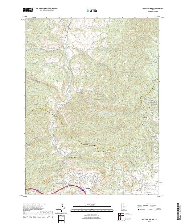
2023 Big Dutch Hollow
Morgan County, UT
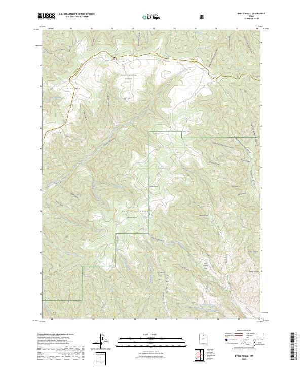
2023 Bybee Knoll
Morgan County, UT
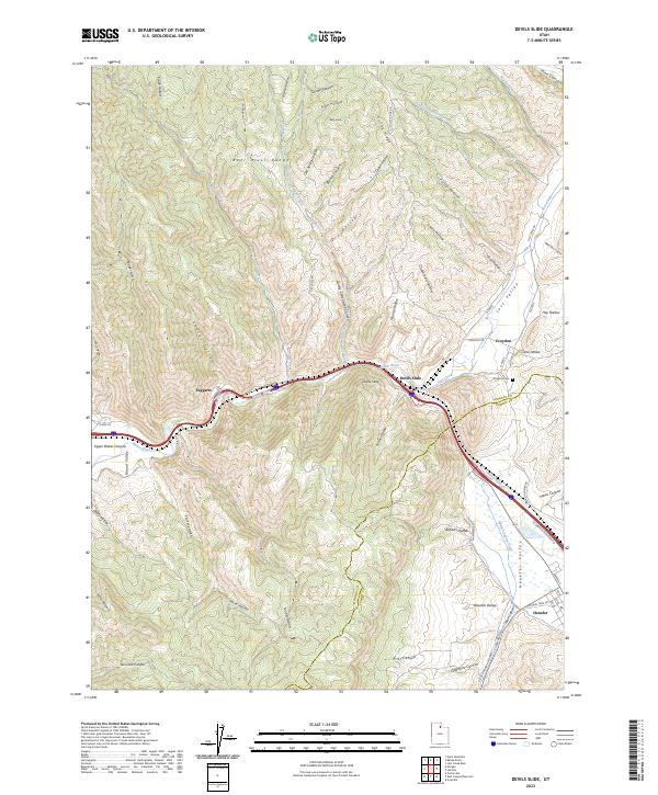
2023 Devils Slide
Morgan County, UT
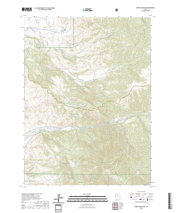
2023 Durst Mountain
Morgan County, UT
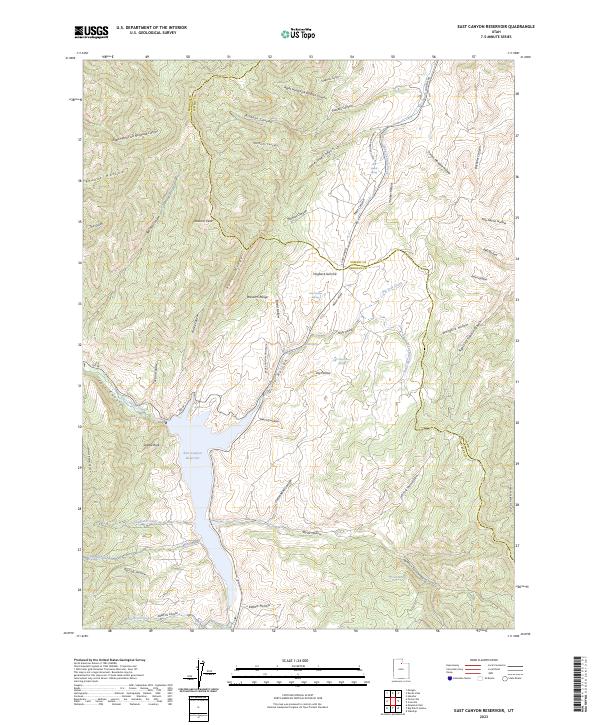
2023 East Canyon Reservoir
Morgan County, UT
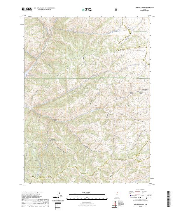
2023 Francis Canyon
Morgan County, UT
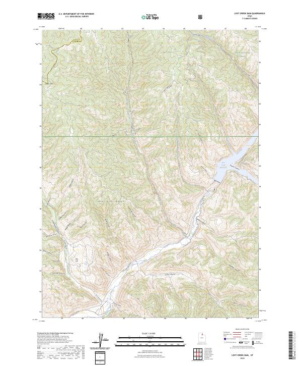
2023 Lost Creek Dam
Morgan County, UT
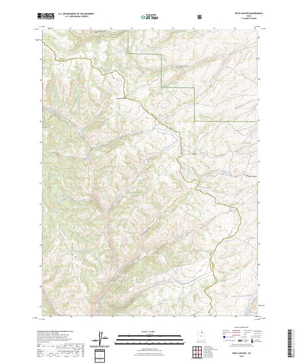
2023 Peck Canyon
Morgan County, UT
2023 Peterson
Morgan County, UT
2023 Porterville
Morgan County, UT
2023 Snow Basin
Morgan County, UT