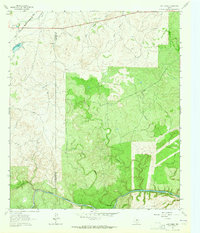
1963 Map of Lost Creek
USGS Topo · Published 1964About this map
Brady Creek and its southern tributaries define this rugged stretch of the Texas Hill Country during the early 1960s. The landscape is marked by the distinct boundary between McCulloch Co and San Saba Co, where the terrain transitions from the winding course of Little Brady Creek to the secluded drainage of Plum Hollow. This era captures the rural character of the region before significant modern development, anchored by the Gulf Colorado and Santa Fe railroad line running through the northern sector.
Find a feature on this map
14 named features on this map. Tap any name to fly to it.
Don’t see what you’re looking for? This feature index may not catch every label — zoom into the map to look around manually.
Map Details
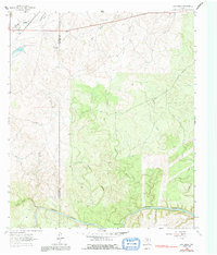
Editions of this 1963 Lost Creek Map
2 editions found
Other maps of this area

1885 · San Saba
USGS Topo · 1:125,000

1894 · Brady
USGS Topo · 1:125,000

1894 · San Saba
USGS Topo · 1:125,000

1928 · Mercury
USGS Topo · 1:62,500

1930 · Richland Springs
USGS Topo · 1:62,500

1948 · Richland Springs
USGS Topo · 1:62,500

1950 · Mercury
USGS Topo · 1:62,500
1950 · Richland Springs
USGS Topo · 1:62,500

1954 · Brownwood
USGS Topo · 1:250,000
1955 · Brady Mountian
USGS Topo · 1:24,000