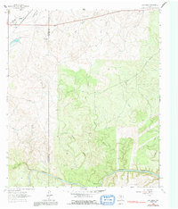
1963 Map of Lost Creek
USGS Topo · Published 1991About this map
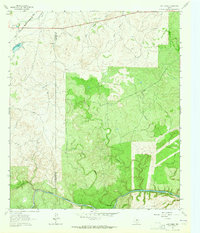
Brady Creek and Little Brady Creek converge in this section of the Edwards Plateau, where the boundary between McCulloch and San Saba counties divides a landscape of drainage draws and high ridges. The area reflects a balance of public recreation and natural resources during the early 1960s, evidenced by the presence of Camp Billy Gibbons and a nearby Roadside Park along the highway corridor. A Gravel Pit indicates localized industrial activity amidst the network of seasonal and permanent waterways like Richland Springs Creek and the meandering Plum Hollow. This 1963 survey captures the terrain just before the era of widespread land modifications, preserving the original courses of Honey Creek and Lost Creek as they feed into the larger regional basins.
Find a feature on this map
12 named features on this map. Tap any name to fly to it.
Don’t see what you’re looking for? This feature index may not catch every label — zoom into the map to look around manually.
Map Details
Editions of this 1963 Lost Creek Map
2 editions found
Other maps of this area

1885 · San Saba
USGS Topo · 1:125,000

1894 · Brady
USGS Topo · 1:125,000

1894 · San Saba
USGS Topo · 1:125,000

1928 · Mercury
USGS Topo · 1:62,500

1930 · Richland Springs
USGS Topo · 1:62,500

1948 · Richland Springs
USGS Topo · 1:62,500

1950 · Mercury
USGS Topo · 1:62,500
1950 · Richland Springs
USGS Topo · 1:62,500

1954 · Brownwood
USGS Topo · 1:250,000
1955 · Brady Mountian
USGS Topo · 1:24,000