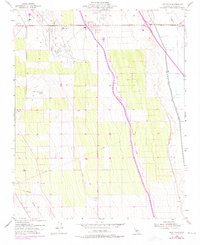
1953 Map of Lost Hills
USGS Topo · Published 1975About this map
Oil Wells and a dense network of infrastructure dominate this mid-century look at the southern San Joaquin Valley. The landscape is defined by the industrial development around the Lost Hills landform, where numerous extraction sites and Oil Tanks are concentrated west of the main settlement. The map documents a critical period of water management in California history, showing the massive path of the California Aqueduct as it cuts south through the center of the quadrangle. To the east, the Kern River Channel and West Side Flood Canal illustrate the complex hydraulic engineering required to support this arid region's economy. The small community of Lost Hills itself sits at the intersection of Highway 46 and the Lost Hills Airport, serving as a residential hub for the surrounding oil and agricultural operations.
Find a feature on this map
15 named features on this map. Tap any name to fly to it.
Don’t see what you’re looking for? This feature index may not catch every label — zoom into the map to look around manually.
Map Details
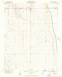
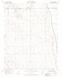
Editions of this 1953 Lost Hills Map
3 editions found
Other maps of this area

1912 · McKittrick
USGS Topo · 1:125,000

1914 · Lost Hills
USGS Topo · 1:125,000

1927 · Semitropic
USGS Topo · 1:31,680

1930 · Miramonte Ranch
USGS Topo · 1:31,680

1931 · Lokern
USGS Topo · 1:31,680

1931 · Goose Lake
USGS Topo · 1:31,680

1932 · Antelope Plain
USGS Topo · 1:31,680

1932 · West of Goose Lake
USGS Topo · 1:31,680

1932 · Reynolds Ranch
USGS Topo · 1:31,680

1934 · Lokern
USGS Topo · 1:31,680